
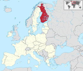
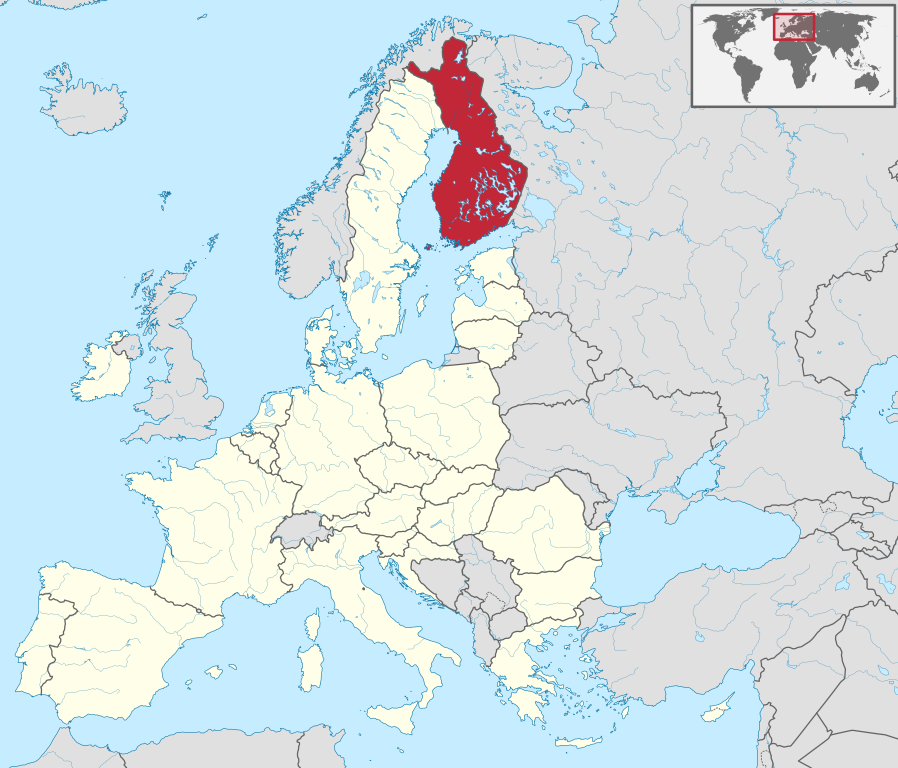
Fil:Finland in European Union.svg

Size of this PNG preview of this SVG file: 701 × 599 pixels. Andre opløsninger: 281 × 240 pixels | 561 × 480 pixels | 898 × 768 pixels | 1.198 × 1.024 pixels | 2.395 × 2.048 pixels | 1.401 × 1.198 pixels.
Fuld opløsning (SVG fil, basisstørrelse 1.401 × 1.198 pixels, filstørrelse: 2,61 MB)
|
|
Denne fil er fra Wikimedia Commons. Beskrivelsen af filen fra Commons er gengivet nedenfor. |
Beskrivelse
.svg)
.svg)
.svg)
.svg)
.svg)
.svg)
.svg)

-en.svg)

.svg)
.svg)
.svg)

_(US48).svg)
_(small_islands_magnified)_(-mini_map_-rivers).svg)
.svg)
_(extra_close)_(US48).svg)
.svg)
_(zoom).svg)

.svg)


_(UNMIK).svg)
.svg)
_(disputed_hatched).svg)
_(claimed_and_disputed_hatched).svg)
.svg)
.svg)
_(%2Ball_claims_hatched).svg)

.svg)
_(shade).svg)
_(shade)_(special_marker).svg)
_(-mini_map).svg)
_(-mini_map).svg)
_(-mini_map).svg)


.svg)

.svg)
Licensering
Jeg, dette værks ophavsretsindehaver, publicerer hermed værket under den følgende licens:
Denne fil er udgivet under Creative Commons Kreditering-Del på samme vilkår 3.0 Ikke-porteret-licensen.
- Du må frit:
- at dele – at kopiere, distribuere og overføre værket
- at remixe – at tilpasse værket
- Under følgende vilkår:
- kreditering – Du skal give passende kreditering, angive et link til licensen, og oplyse om der er foretaget ændringer. Du må gøre det på enhver fornuftig måde, men ikke på en måde der antyder at licensgiveren godkender dig eller din anvendelse.
- deling på samme vilkår – Hvis du bearbejder, ændrer eller bygger videre på dette værk, skal du distribuere dine bidrag under den samme eller en kompatibel licens som originalen.

|
I'd greatly appreciate, that you attribute this media file to Wikimedia Commons, if used outside Wikipedia or Commons. For use in publications such as books, newspapers, blogs, websites, please insert here the following line:
|
Filhistorik
Klik på en dato/tid for at se filen som den så ud på det tidspunkt.
| Dato/tid | Miniaturebillede | Dimensioner | Bruger | Kommentar | |
|---|---|---|---|---|---|
| nuværende | 1. feb. 2020, 01:58 | | 1.401 × 1.198 (2,61 MB) | Hogweard | Update |
| 2. jul. 2013, 10:27 |  | 1.401 × 1.198 (2,43 MB) | TUBS | ||
| 18. mar. 2011, 09:49 |  | 1.401 × 1.198 (4,04 MB) | TUBS |
Filanvendelse
Den følgende side bruger denne fil:
Global filanvendelse
Følgende andre wikier anvender denne fil:
- Anvendelser på ang.wikipedia.org
- Anvendelser på csb.wikipedia.org
- Anvendelser på da.wiktionary.org
- Anvendelser på de.wikipedia.org
- Anvendelser på de.wikinews.org
- Anvendelser på din.wikipedia.org
- Anvendelser på dz.wikipedia.org
- Anvendelser på es.wikipedia.org
- Anvendelser på et.wikipedia.org
- Anvendelser på fi.wikipedia.org
- Anvendelser på frr.wikipedia.org
- Anvendelser på hsb.wikipedia.org
- Anvendelser på hu.wiktionary.org
- Anvendelser på mrj.wikipedia.org
- Anvendelser på os.wikipedia.org
- Anvendelser på pap.wikipedia.org
- Anvendelser på pl.wikipedia.org
- Anvendelser på pl.wiktionary.org
- Anvendelser på pt.wiktionary.org
- Anvendelser på se.wikipedia.org