
Fil:BlankMap-World-Flattened.svg

Size of this PNG preview of this SVG file: 800 × 406 pixels. Andre opløsninger: 320 × 162 pixels | 640 × 325 pixels | 1.024 × 519 pixels | 1.280 × 649 pixels | 2.560 × 1.299 pixels | 2.754 × 1.397 pixels.
Fuld opløsning (SVG fil, basisstørrelse 2.754 × 1.397 pixels, filstørrelse: 1,68 MB)
|
|
Denne fil er fra Wikimedia Commons. Beskrivelsen af filen fra Commons er gengivet nedenfor. |
Beskrivelse
| Beskrivelse |
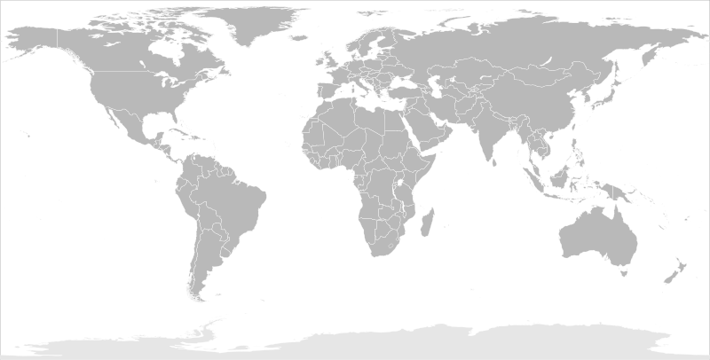
English: Blank political map of the world in modified (flattened) Robinson projection. This image is a sample of output from nugsl-worldmap, a Python script for the manipulation of this map. The script can also produce rotated images, add pinpoint marks at particular geographic coordinates, and produce web pages with clickable areas for specific countries and pinpoint marks.
Note that this map is not equirectangular, and cannot be used as a push-pin map to identify coordinates assuming equal latitude and longitude spacing. A map using the equirectangular projection is available at File:BlankMap-World6-Equirectangular.svg. |
| Dato | (for the script only) |
| Kilde |
http://www.law.nagoya-u.ac.jp/en/appendix/software/worldmap/ Refactored from Image:BlankMap-World.svg, q.v. |
| Forfatter | Frank Bennett |
| Tilladelse (Genbrug af denne fil) |
The map data manipulated by the script is in the public domain. The raw output of the script, including the file shown here, is also in the public domain. |
| Andre versioner |
Derivative works of this file:
|
| SVG udvikling | Vektorgrafikken blev lavet med Inkscape.
. |
Licensering
| Jeg, indehaveren af ophavsretten til dette værk, udgiver dette værk som offentlig ejendom. Dette gælder i hele verden. I nogle lande er dette ikke juridisk muligt. I så fald: Jeg giver enhver ret til at anvende dette værk til ethvert formål, uden nogen restriktioner, medmindre sådanne restriktioner er påkrævede ved lov. |
Filhistorik
Klik på en dato/tid for at se filen som den så ud på det tidspunkt.
| Dato/tid | Miniaturebillede | Dimensioner | Bruger | Kommentar | |
|---|---|---|---|---|---|
| nuværende | 20. mar. 2014, 12:44 | | 2.754 × 1.397 (1,68 MB) | Underlying lk | fix classes for Soudan and South Soudan |
| 16. mar. 2013, 18:01 |  | 2.754 × 1.397 (1,68 MB) | Flappiefh | South Sudan added. | |
| 14. jan. 2008, 13:47 |  | 2.754 × 1.397 (1,67 MB) | Biercenator | Updated to current version of map produced by the script. | |
| 19. dec. 2007, 15:22 |  | 940 × 477 (1,99 MB) | Biercenator | == Summary == Refactored from en:Image:BlankMap-World6.svg, q.v. This image is a sample of output from [http://gsl-nagoya-u.net/appendix/software/worldmap/ nugsl-worldmap], a Python script for the manipulation and maintenance of this map. The flatt | |
| 15. dec. 2007, 17:31 |  | 940 × 477 (2 MB) | Biercenator | Refactored from en:Image:BlankMap-World6.svg, q.v. This image might prove useful if you want to change the area shown in the center of the Robinson projection version, since the conversion can be reversed. | |
| 15. dec. 2007, 17:18 |  | 940 × 477 (2 MB) | Biercenator | == Summary == Refactored from en:BlankMap-World6.svg, q.v. This image might prove useful if you want to area shown in the center of the Robinson projection version, since the conversion can be reversed. |
Filanvendelse
Der er ingen sider der bruger denne fil.
Global filanvendelse
Følgende andre wikier anvender denne fil:
- Anvendelser på ca.wikipedia.org
- Anvendelser på de.wikipedia.org
- Anvendelser på en.wikipedia.org
- Anvendelser på es.wikipedia.org
- Anvendelser på fr.wikipedia.org
- Anvendelser på he.wikipedia.org