
Fil:Bristol UK location map.svg

Size of this PNG preview of this SVG file: 539 × 600 pixels. Andre opløsninger: 216 × 240 pixels | 431 × 480 pixels | 690 × 768 pixels | 920 × 1.024 pixels | 1.841 × 2.048 pixels | 1.138 × 1.266 pixels.
Fuld opløsning (SVG fil, basisstørrelse 1.138 × 1.266 pixels, filstørrelse: 683 KB)
|
|
Denne fil er fra Wikimedia Commons. Beskrivelsen af filen fra Commons er gengivet nedenfor. |
| Beskrivelse |
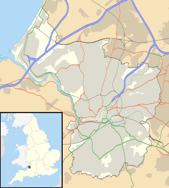
Map of Bristol, UK with the following information shown:
Equirectangular map projection on WGS 84 datum, with N/S stretched 160% Geographic limits:
|
| Dato | |
| Kilde |
|
| Forfatter | Nilfanion, created using Ordnance Survey data |
| Tilladelse (Genbrug af denne fil) |
Denne fil er udgivet under Creative Commons Kreditering-Del på samme vilkår 3.0 Ikke-porteret-licensen. Kreditering: Contains Ordnance Survey data © Crown copyright and database right
|
| Andre versioner | File:Bristol UK district map (blank).svg - Blank map |
.svg)
Filhistorik
Klik på en dato/tid for at se filen som den så ud på det tidspunkt.
| Dato/tid | Miniaturebillede | Dimensioner | Bruger | Kommentar | |
|---|---|---|---|---|---|
| nuværende | 26. sep. 2010, 19:58 | | 1.138 × 1.266 (683 KB) | Nilfanion | {{Information |Description=Map of Bristol, UK with the following information shown: *Administrative borders *Coastline, lakes and rivers *Roads and railways *Urban areas Equirectangular map projection on WGS 84 datum, with N/S stretched 160 |
Filanvendelse
Der er ingen sider der bruger denne fil.
Global filanvendelse
Følgende andre wikier anvender denne fil:
- Anvendelser på ar.wikipedia.org
- Anvendelser på bn.wikipedia.org
- Anvendelser på ceb.wikipedia.org
- Anvendelser på el.wikipedia.org
- Anvendelser på en.wikipedia.org
- Clifton Suspension Bridge
- St Mary Redcliffe
- Bristol Cathedral
- Clifton Cathedral
- Avonmouth
- Catbrain
- Bristol Old Vic Theatre School
- St Werburghs
- Clifton Down
- Durdham Down
- The Downs, Bristol
- Avon Gorge
- We the Curious
- Bristol Museum & Art Gallery
- Arnolfini, Bristol
- Snuff Mills
- Bristol Industrial Museum
- Llandoger Trow
- St Pauls, Bristol
- Stapleton, Bristol
- Brislington
- Knowle West
- Totterdown
- Blaise Castle Estate
- Blaise Hamlet
- Fishponds
- St Matthias, Bristol
- Glenside, Bristol
- Shirehampton
- Tobacco Factory
- Spike Island, Bristol
- Avonmouth Bridge
- Eastville Stadium
- The Chessels
- British Empire and Commonwealth Museum
- Lawrence Weston, Bristol
- St Brendan's Sixth Form College
- Purdown BT Tower
- Westbury College Gatehouse
- The Old Duke
- Cabot Tower, Bristol
- Wills Hall
- Southmead Hospital
Vis flere globale anvendelser af denne fil.