
Fil:Contorno do mapa do Brasil.svg

Size of this PNG preview of this SVG file: 345 × 345 pixels. Andre opløsninger: 240 × 240 pixels | 480 × 480 pixels | 768 × 768 pixels | 1.024 × 1.024 pixels | 2.048 × 2.048 pixels.
Fuld opløsning (SVG fil, basisstørrelse 345 × 345 pixels, filstørrelse: 8 KB)
|
|
Denne fil er fra Wikimedia Commons. Beskrivelsen af filen fra Commons er gengivet nedenfor. |
Beskrivelse
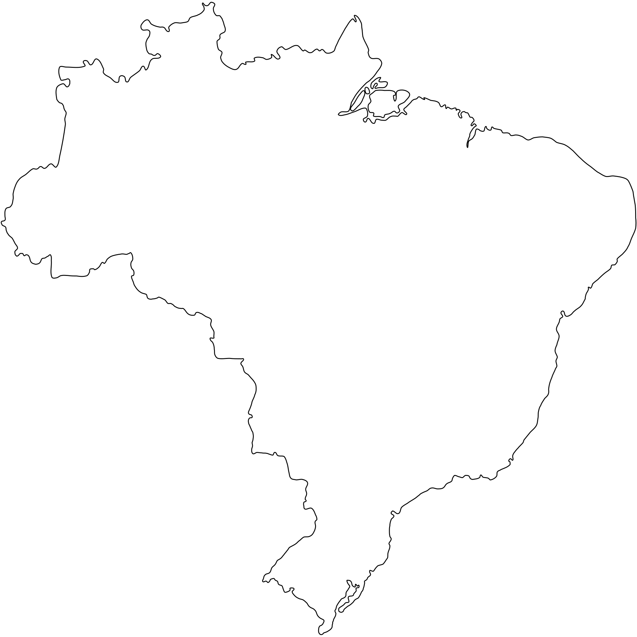
Português: Contorno do mapa do Brasil com detalhamento de nível médio e suavizado, não oficial e não exato porque foi desenhado por mim a olho nu. Inicialmente foi especialmente desenhado para a bandeira do Estado de São Paulo (ver Image:Bandeira do estado de São Paulo.svg).
A map drawn (maybe with CorelDRAW!® or Inkscape) by FML.
|

|
Jeg, dette værks ophavsretsindehaver, publicerer hermed værket under den følgende licens:
Denne fil er udgivet under Creative Commons Navngivelse – Del på samme vilkår 2.5 Generisk-licensen
- Du må frit:
- at dele – at kopiere, distribuere og overføre værket
- at remixe – at tilpasse værket
- Under følgende vilkår:
- kreditering – Du skal give passende kreditering, angive et link til licensen, og oplyse om der er foretaget ændringer. Du må gøre det på enhver fornuftig måde, men ikke på en måde der antyder at licensgiveren godkender dig eller din anvendelse.
- deling på samme vilkår – Hvis du bearbejder, ændrer eller bygger videre på dette værk, skal du distribuere dine bidrag under den samme eller en kompatibel licens som originalen.
Filhistorik
Klik på en dato/tid for at se filen som den så ud på det tidspunkt.
| Dato/tid | Miniaturebillede | Dimensioner | Bruger | Kommentar | |
|---|---|---|---|---|---|
| nuværende | 18. sep. 2011, 20:30 | | 345 × 345 (8 KB) | Giro720 | Map concentric to an (imaginary) circle with r=755 centered at the origin. |
| 10. aug. 2011, 09:56 |  | 347 × 345 (8 KB) | OAlexander~commonswiki | Better optimisation, eliminated minor error on right edge. (Upped wrong version previously) | |
| 10. aug. 2011, 09:52 |  | 512 × 510 (20 KB) | OAlexander~commonswiki | Better optimisation, eliminated minor error on right edge. | |
| 10. aug. 2011, 09:48 |  | 512 × 510 (20 KB) | OAlexander~commonswiki | Repair (did not display in Firefox and Safari) and optimization. | |
| 20. feb. 2006, 13:26 |  | 526 × 524 (82 KB) | FML | ||
| 30. jan. 2006, 03:41 |  | 526 × 524 (82 KB) | FML | ||
| 30. jan. 2006, 03:33 |  | 526 × 524 (143 KB) | FML | {{pt|Contorno do mapa do Brasil com detalhamento de nível médio e suavizado, '''não oficial''' e '''não exato''' porque foi desenhado por mim a olho nu. Inicialmente foi especialmente desenhado para a bandeira do Estado de São Paulo (ver [ |
Filanvendelse
Der er ingen sider der bruger denne fil.
Global filanvendelse
Følgende andre wikier anvender denne fil:
- Anvendelser på pt.wikipedia.org