
Fil:Latin America terrain.jpg

Størrelse af denne forhåndsvisning: 626 × 600 pixels. Andre opløsninger: 251 × 240 pixels | 501 × 480 pixels | 1.002 × 960 pixels.
Fuld opløsning (1.002 × 960 billedpunkter, filstørrelse: 76 KB, MIME-type: image/jpeg)
|
|
Denne fil er fra Wikimedia Commons. Beskrivelsen af filen fra Commons er gengivet nedenfor. |
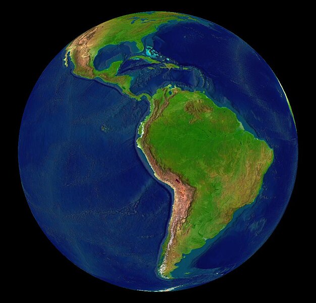
| This image is in the public domain because it is a screenshot from NASA’s globe software World Wind using a public domain layer, such as Blue Marble, MODIS, Landsat, SRTM, USGS or GLOBE.
|
 |
Filhistorik
Klik på en dato/tid for at se filen som den så ud på det tidspunkt.
| Dato/tid | Miniaturebillede | Dimensioner | Bruger | Kommentar | |
|---|---|---|---|---|---|
| nuværende | 30. sep. 2018, 16:03 | | 1.002 × 960 (76 KB) | Trougnouf | Reverted to version as of 16:39, 13 June 2005 (UTC) |
| 28. aug. 2018, 04:00 |  | 960 × 1.002 (76 KB) | SteinsplitterBot | Bot: Image rotated by 90° | |
| 13. jun. 2005, 18:39 |  | 1.002 × 960 (76 KB) | Rex | {{World Wind}} Category:Maps of Latin America |
Filanvendelse
Den følgende side bruger denne fil:
Global filanvendelse
Følgende andre wikier anvender denne fil:
- Anvendelser på af.wikipedia.org
- Anvendelser på ar.wikipedia.org
- Anvendelser på ca.wikipedia.org
- Anvendelser på cs.wikipedia.org
- Anvendelser på cy.wikipedia.org
- Anvendelser på de.wikipedia.org
- Anvendelser på en.wikipedia.org
- 1980
- 1995
- 1965
- 1985
- User talk:TaranRampersad
- User talk:Pilaf~enwiki
- User talk:Pablo-flores
- User talk:Mjuarez
- User talk:GringoInChile
- User talk:B1mbo
- User talk:Mcsee
- User talk:Shauri
- User talk:Guanaco152003
- User talk:MarcosR~enwiki
- User talk:Caleiva
- User talk:Sebastiankessel
- User talk:Mardochaios
- User talk:Mxcatania
- User talk:Comrade Neko
- User talk:Sanmarcos
- User talk:Locoluis
- User talk:ReyBrujo
- User talk:JorgeRodriguez
- User talk:Bruno18
- User talk:SqueakBox/Archivehistory
- User talk:Filius Rosadis
- User talk:Barcex
- User talk:Atomsprengja
- User talk:Jorobeq
- User talk:OneEuropeanHeart
- User talk:Lin linao
- User talk:Badbilltucker
- User talk:Radioheadhst
- User talk:Mazzaglia
- User talk:Coat of Arms
- User talk:Fenton85
- User talk:ShiningEyes
- User talk:Eldraco
- User talk:Nkcs
- User talk:Mrlopez2681
Vis flere globale anvendelser af denne fil.