
Fil:Map of USA TX.svg

Size of this PNG preview of this SVG file: 286 × 186 pixels. Andre opløsninger: 320 × 208 pixels | 640 × 416 pixels | 1.024 × 666 pixels | 1.280 × 832 pixels | 2.560 × 1.665 pixels.
Fuld opløsning (SVG fil, basisstørrelse 286 × 186 pixels, filstørrelse: 167 KB)
|
|
Denne fil er fra Wikimedia Commons. Beskrivelsen af filen fra Commons er gengivet nedenfor. |
Clickable version
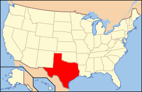
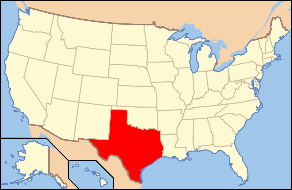
| Beskrivelse | Map of USA with Texas highlighted | ||||||||
| Dato | see file history below. | ||||||||
| Kilde | own work by uploader, based on Image:Map of USA without state names.svg | ||||||||
| Forfatter |
This version: uploader Base versions this one is derived from: originally created by en:User:Wapcaplet |
||||||||
| Tilladelse (Genbrug af denne fil) |
Denne fil er udgivet under Creative Commons Navngivelse 2.0 Generisk-licensen
|
||||||||
| Andre versioner | image:Map of USA with state names.svg |

Filhistorik
Klik på en dato/tid for at se filen som den så ud på det tidspunkt.
| Dato/tid | Miniaturebillede | Dimensioner | Bruger | Kommentar | |
|---|---|---|---|---|---|
| nuværende | 9. jun. 2006, 12:36 | | 286 × 186 (167 KB) | Huebi~commonswiki | {{Information| |Description=Map of USA with Texas highlighted |other_versions=image:Map of USA with state names.svg }} Category:Maps of the United States Category:Maps of Texas Category:SVG maps {{GFDL-en}}{{cc-by-2.0}}{{cc-by-sa-1.0}}{ |
Filanvendelse
De følgende 27 sider bruger denne fil:
- Abilene (Texas)
- Albany (Texas)
- Alpine (Texas)
- Amarillo
- Anderson County (Texas)
- Andrews County
- Angelina County
- Aransas County
- Archer County
- Arlington (Texas)
- Armstrong County (Texas)
- Atascosa County
- Austin County
- Bailey County
- Bandera County
- Beaumont (Texas)
- Brenham
- Brownsville (Texas)
- Cherokee County (Texas)
- Lee County (Texas)
- Limestone County (Texas)
- Lipscomb County
- Live Oak County
- Llano County
- Shelby County (Texas)
- Texas
- Tyler County (Texas)
Global filanvendelse
Følgende andre wikier anvender denne fil:
- Anvendelser på af.wikipedia.org
- Anvendelser på als.wikipedia.org
- Anvendelser på ang.wikipedia.org
- Anvendelser på an.wikipedia.org
- Anvendelser på ay.wikipedia.org
- Anvendelser på azb.wikipedia.org
- Anvendelser på az.wikipedia.org
- Anvendelser på az.wiktionary.org
- Anvendelser på bat-smg.wikipedia.org
- Anvendelser på ba.wikipedia.org
- Anvendelser på be-tarask.wikipedia.org
- Anvendelser på bg.wikipedia.org
- Анджелина (окръг, Тексас)
- Арансас (окръг, Тексас)
- Остин (окръг, Тексас)
- Бий (окръг, Тексас)
- Беър (окръг, Тексас)
- Бланко (окръг, Тексас)
- Бордън (окръг, Тексас)
- Боски (окръг, Тексас)
- Боуи (окръг, Тексас)
- Бразория
- Брискоу (окръг, Тексас)
- Бразос (окръг, Тексас)
- Брукс (окръг, Тексас)
- Браун (окръг, Тексас)
- Бърлсън (окръг, Тексас)
- Бърнит (окръг, Тексас)
- Колдуел (окръг, Тексас)
- Калхун (окръг, Тексас)
- Калахан (окръг, Тексас)
- Камерън (окръг, Тексас)
- Кемп (окръг, Тексас)
- Карсън (окръг, Тексас)
- Кас (окръг, Тексас)
- Кастро (окръг, Тексас)
- Чеймбърс (окръг, Тексас)
- Чероки (окръг, Тексас)
- Клей (окръг, Тексас)
- Кокран (окръг, Тексас)
- Коук (окръг)
- Колман (окръг, Тексас)
- Колин (окръг, Тексас)
- Колингсуърт (окръг, Тексас)
- Колорадо (окръг, Тексас)
- Комал (окръг, Тексас)
- Команчи (окръг, Тексас)
- Кончо (окръг, Тексас)
Vis flere globale anvendelser af denne fil.