
Fil:UK Outline and Flag.svg

Size of this PNG preview of this SVG file: 407 × 600 pixels. Andre opløsninger: 163 × 240 pixels | 326 × 480 pixels | 521 × 768 pixels | 695 × 1.024 pixels | 1.390 × 2.048 pixels | 661 × 974 pixels.
Fuld opløsning (SVG fil, basisstørrelse 661 × 974 pixels, filstørrelse: 109 KB)
|
|
Denne fil er fra Wikimedia Commons. Beskrivelsen af filen fra Commons er gengivet nedenfor. |
| Beskrivelse |
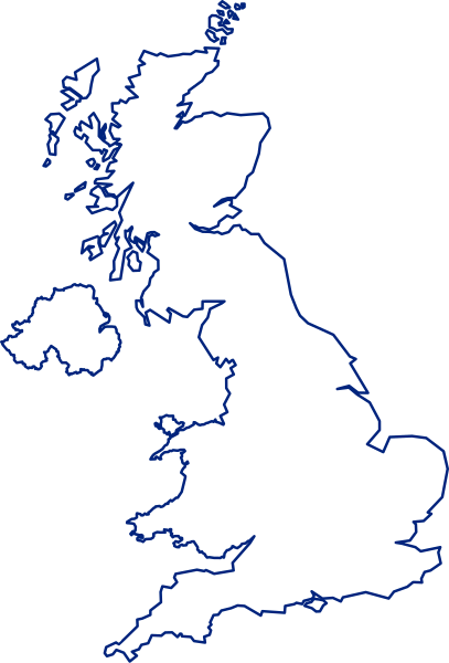
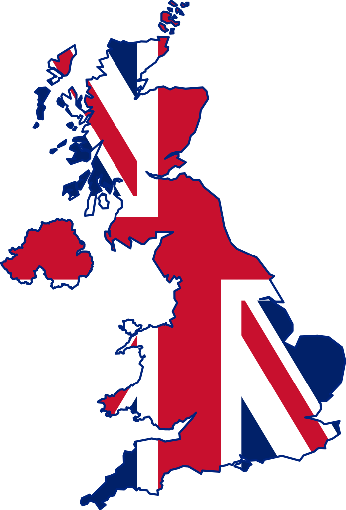
English: A map of the United Kingdom, overlaid with the UK flag.
Русский: Флаг-карта Соединённого Королевства |
||
| Dato | |||
| Kilde | Eget arbejde | ||
| Forfatter | Inductiveload | ||
| Tilladelse (Genbrug af denne fil) |
|
||
| Andre versioner |
 |
||
| SVG udvikling | Vektorgrafikken blev lavet med Inkscape.
. |
Filhistorik
Klik på en dato/tid for at se filen som den så ud på det tidspunkt.
| Dato/tid | Miniaturebillede | Dimensioner | Bruger | Kommentar | |
|---|---|---|---|---|---|
| nuværende | 24. jul. 2021, 17:14 | | 661 × 974 (109 KB) | GPinkerton | Improve flag geometry, remove Isle of Man (not strictly part of the UK). Shetland (definitely a part) still missing ... |
| 10. jan. 2015, 22:40 |  | 720 × 1.000 (130 KB) | AnonMoos | Reverted to version as of 09:28, 15 January 2012 -- unfortunately, the new upload is less clear when displayed at a small size, and filesize was bloated over 1000% | |
| 9. jan. 2015, 18:03 |  | 419 × 750 (1,71 MB) | Stasyan117 | border and islands | |
| 15. jan. 2012, 11:28 |  | 720 × 1.000 (130 KB) | Gajmar | Blue borders | |
| 3. feb. 2008, 21:33 |  | 720 × 1.000 (129 KB) | Inductiveload | fix white fill on borders | |
| 3. feb. 2008, 21:23 |  | 720 × 1.000 (100 KB) | Inductiveload | {{Information |Description=A map of the United Kingdom, overlaid with the UK flag. |Source=self-made |Date=03/02/2008 |Author= Inductiveload |Permission={{PD-self}} |other_versions= }} Category:Maps of the United Kingdom |
Filanvendelse
Flere end 100 sider henviser til denne fil. Den følgende liste viser kun de 100 første henvisninger. En komplet liste er tilgængelig.
- Aberystwyth Castle
- Acts of Union (1707)
- Alderney
- Armagh
- Avon
- Bailiwick of Guernsey
- Belfast
- Binley Woods
- Borley Rectory
- Bristol Castle
- Britannia
- Builth Castle
- Calf of Man
- Canterbury Cathedral
- Cardiff Castle
- Cardigan Castle
- Caymanøerne
- Charing Cross
- Chirk Castle
- Coity Castle
- Conwy County Borough
- Croxteth
- Dartford
- Dartmoor
- De Britiske Øer
- Dolwyddelan Castle
- Dorset
- Douglas (Isle of Man)
- Durham Cathedral
- East Sheen
- Epsom
- Falls Road
- Fife
- Flint (Flintshire)
- Foyle (flod)
- Gaping Gill
- Gardyne Castle
- Hawarden Castle (middelalder)
- Hebden Bridge
- Heckfield
- Heptarkiet
- Highland (region)
- Holt Castle
- Holt End
- Iona
- Kanaløerne
- Kidwelly Castle
- Lea (flod)
- Leytonstone
- Lisburn
- Little Venice
- Llantrisant Castle
- Londonderry
- Loughor Castle
- Manchester Square
- Marlborough
- Mayfair
- Merseyside
- Montgomery Castle
- Mytteriene på Spithead og Nore
- Nantclwyd y Dre
- Neath Castle
- Newcastle Castle (Bridgend)
- Newry
- Notting Hill
- Nottinghamshire
- Ogmore Castle
- Omagh
- Ouse (Yorkshire)
- Oxwich Castle
- Oystermouth Castle
- Pennard Castle
- Peterloo-massakren
- Portobello Road
- RMS Olympic
- Ralph H. Fowler
- Regency
- Ripon
- Romford
- Rule, Britannia!
- Ruthin Castle
- Saint Peter Port
- Salisbury Cathedral
- Severnbroen
- Soho
- St. Helens (Merseyside)
- St Quintins Castle
- Stevenage
- Tay
- Tewkesbury
- Tregwynt-skatten
- Trent (flod)
- Tweed (flod)
- Victoriatiden
- Warwick
- Welwyn Garden City
- Weobley Castle (Glamorgan)
- Whig-partiet
- Windsor (England)
- Bruger:C.Thure/Stubskabeloner/Geografi
Se flere henvisninger til denne fil.
Global filanvendelse
Følgende andre wikier anvender denne fil:
- Anvendelser på ace.wikipedia.org
- Anvendelser på ar.wikipedia.org
- غرينتش
- جزر الأنتيل الكبرى
- غيرنزي
- قائمة مدن المملكة المتحدة
- خط الطول الأول (غرينتش)
- إكسمنستر
- جزر كايمان
- ويكيبيديا:صناديق المستخدم/بلدان
- دمبارتون
- شابينساي
- سان بيتر بورت
- بروفيدنسياليس
- جزيرة الطيور (المملكة المتحدة)
- سندرلاند
- بيليمينا
- تورفين
- تلة كليف
- الجمعية الجغرافية الملكية
- لوستويزيل
- نهر فاوي
- بولستيد
- كادسدن
- إنفرنيس
- أسكوت
- سالفورد
- وايت تشابل
- هارلو
- توتون
- دوكنج (نورفولك)
- سودرك
- هامرسميث
- لافيونا
- إيلي (كامبريدجشير)
- برايتون أند هوف
- تشيلمسفورد (إسكس)
- تشيتشستر
- ريبون (شمال يوركشير)
- مدينة ولز (إنجلترا)
- خليج ماساشوستس
- مستخدم:Sylvia Ford
- دونكاستر
- ويندرمير (كمبريا)
- ويندرمير
- وايتستابل
- ساوث سي
- لوثيان الشرقية
- آلدرني
- شوريهام
Vis flere globale anvendelser af denne fil.