
Fil:Australia Perth location map.svg

Size of this PNG preview of this SVG file: 800 × 559 pixels. Andre opløsninger: 320 × 224 pixels | 640 × 447 pixels | 1.024 × 716 pixels | 1.280 × 895 pixels | 2.560 × 1.790 pixels | 1.250 × 874 pixels.
Fuld opløsning (SVG fil, basisstørrelse 1.250 × 874 pixels, filstørrelse: 130 KB)
|
|
Denne fil er fra Wikimedia Commons. Beskrivelsen af filen fra Commons er gengivet nedenfor. |
Beskrivelse
| Beskrivelse |
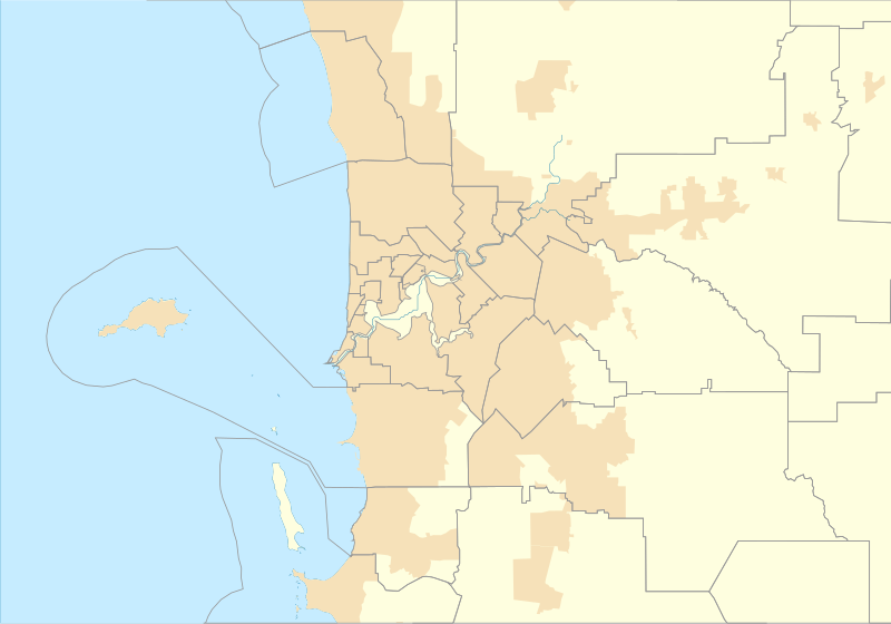
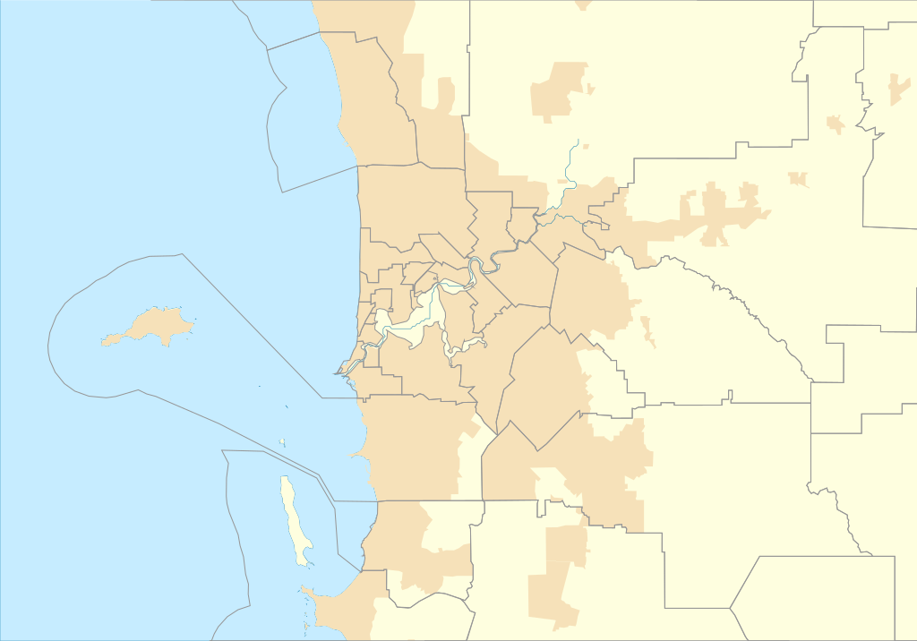
English: Location map of Perth in Western Australia |
| Dato | |
| Kilde | Eget arbejde |
| Forfatter | Run to the hills, cos the end of the world is soon! |
Licensering
Jeg, dette værks ophavsretsindehaver, publicerer hermed værket under den følgende licens:
This file is licensed under the Creative Commons Attribution-Share Alike 4.0 International license.
- Du må frit:
- at dele – at kopiere, distribuere og overføre værket
- at remixe – at tilpasse værket
- Under følgende vilkår:
- kreditering – Du skal give passende kreditering, angive et link til licensen, og oplyse om der er foretaget ændringer. Du må gøre det på enhver fornuftig måde, men ikke på en måde der antyder at licensgiveren godkender dig eller din anvendelse.
- deling på samme vilkår – Hvis du bearbejder, ændrer eller bygger videre på dette værk, skal du distribuere dine bidrag under den samme eller en kompatibel licens som originalen.
Filhistorik
Klik på en dato/tid for at se filen som den så ud på det tidspunkt.
| Dato/tid | Miniaturebillede | Dimensioner | Bruger | Kommentar | |
|---|---|---|---|---|---|
| nuværende | 17. sep. 2016, 02:43 | | 1.250 × 874 (130 KB) | Run to the hills, cos the end of the world is soon! | User created page with UploadWizard |
Filanvendelse
Der er ingen sider der bruger denne fil.
Global filanvendelse
Følgende andre wikier anvender denne fil:
- Anvendelser på en.wikipedia.org
- Fremantle
- Cape Peron
- Jualbup Lake
- Mount Eliza (Western Australia)
- Barracks Arch
- Lake Monger
- Herdsman Lake
- Old Jarrah Tree
- Cottesloe Beach
- Forrestdale Lake
- Booragoon Lake
- Albany Bell Castle
- Beatty Park
- Bishop's House, Perth
- Perth Hebrew Congregation
- Thomsons Lake
- Castledare Boys' Home
- Public Transport Centre
- 2014 Perth Hills bushfire
- Module:Location map/data/Australia Perth
- User:Run to the hills, cos the end of the world is soon!/sandbox
- Module:Location map/data/Australia Perth/doc
- Shalom House
- Mundaring Weir Hotel
- Mahogany Inn
- Bassendean Fire Station
- Woodloes Homestead
- Newmarket Hotel
- Challenger Battery
- North Lake (Western Australia)
- Bibra Lake (Western Australia)
- 2021 Beechina bushfire
- User:Garzo/New Sandbox
- Anvendelser på fr.wikipedia.org
Vis flere globale anvendelser af denne fil.