
Fil:Carmarthenshire UK location map.svg

Size of this PNG preview of this SVG file: 769 × 600 pixels. Andre opløsninger: 308 × 240 pixels | 616 × 480 pixels | 985 × 768 pixels | 1.280 × 998 pixels | 2.560 × 1.996 pixels | 1.425 × 1.111 pixels.
Fuld opløsning (SVG fil, basisstørrelse 1.425 × 1.111 pixels, filstørrelse: 1,29 MB)
|
|
Denne fil er fra Wikimedia Commons. Beskrivelsen af filen fra Commons er gengivet nedenfor. |
| Beskrivelse |
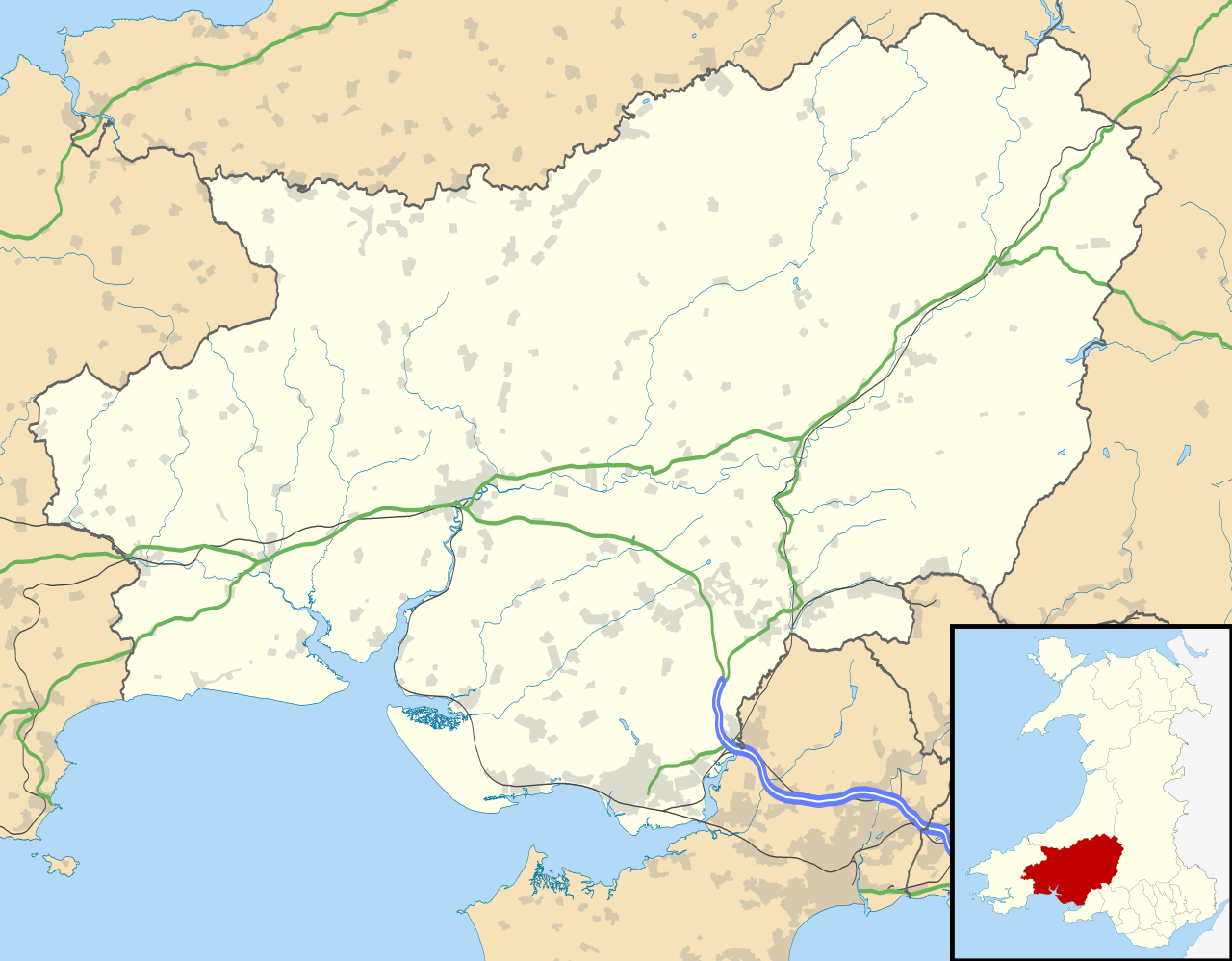
Blank map of Carmarthenshire, UK with the following information shown:
Equirectangular map projection on WGS 84 datum, with N/S stretched 160% Geographic limits:
|
| Dato | |
| Kilde |
|
| Forfatter | Nilfanion, created using Ordnance Survey data |
| Tilladelse (Genbrug af denne fil) |
Denne fil er udgivet under Creative Commons Kreditering-Del på samme vilkår 3.0 Ikke-porteret-licensen. Kreditering: Contains Ordnance Survey data © Crown copyright and database right
|
| Andre versioner | File:Carmarthenshire UK map.svg - Blank map |
Filhistorik
Klik på en dato/tid for at se filen som den så ud på det tidspunkt.
| Dato/tid | Miniaturebillede | Dimensioner | Bruger | Kommentar | |
|---|---|---|---|---|---|
| nuværende | 26. sep. 2010, 21:31 | | 1.425 × 1.111 (1,29 MB) | Nilfanion | {{Information |Description=Blank map of Carmarthenshire, UK with the following information shown: *Administrative borders *Coastline, lakes and rivers *Roads and railways *Urban areas Equirectangular map projection on WGS 84 datum, |
Filanvendelse
Der er ingen sider der bruger denne fil.
Global filanvendelse
Følgende andre wikier anvender denne fil:
- Anvendelser på ar.wikipedia.org
- Anvendelser på azb.wikipedia.org
- Anvendelser på ceb.wikipedia.org
- Anvendelser på cy.wikipedia.org
- Anvendelser på en.wikipedia.org
- List of monastic houses in Wales
- Carmarthenshire
- Llanelli
- Carmarthen
- Ammanford
- Llwynhendy
- Llandeilo
- Newcastle Emlyn
- Whitland
- Burry Port
- Kidwelly
- Llandovery
- Abergwili
- Laugharne
- Cenarth
- St Clears
- Glanamman
- Pendine Sands
- Pembrey Sands Air Weapons Range
- Pembrey
- Pembrey Airport
- Llanybydder
- Betws, Carmarthenshire
- Bancyfelin
- Carreg Cennen Castle
- Aber-arad
- Abergorlech
- Abernant, Carmarthenshire
- Felinfoel
- Myddfai
- Cross Hands
- Brynamman
- Pantyffynnon
- Ferryside television relay station
- Ferryside
- Llansteffan
- Kidwelly Castle
- Garnant
- Eglwyscummin
- Pencader, Carmarthenshire
- Pontyberem
- Llangain
- Bryn, Llanelli
- Pemberton, Carmarthenshire
- Dafen, Carmarthenshire
Vis flere globale anvendelser af denne fil.