
Fil:Flag-map of the Falkland Islands.svg

Size of this PNG preview of this SVG file: 512 × 417 pixels. Andre opløsninger: 295 × 240 pixels | 589 × 480 pixels | 943 × 768 pixels | 1.257 × 1.024 pixels | 2.515 × 2.048 pixels.
Fuld opløsning (SVG fil, basisstørrelse 512 × 417 pixels, filstørrelse: 245 KB)
|
|
Denne fil er fra Wikimedia Commons. Beskrivelsen af filen fra Commons er gengivet nedenfor. |
Vektorgrafikken blev lavet med Inkscape.
.
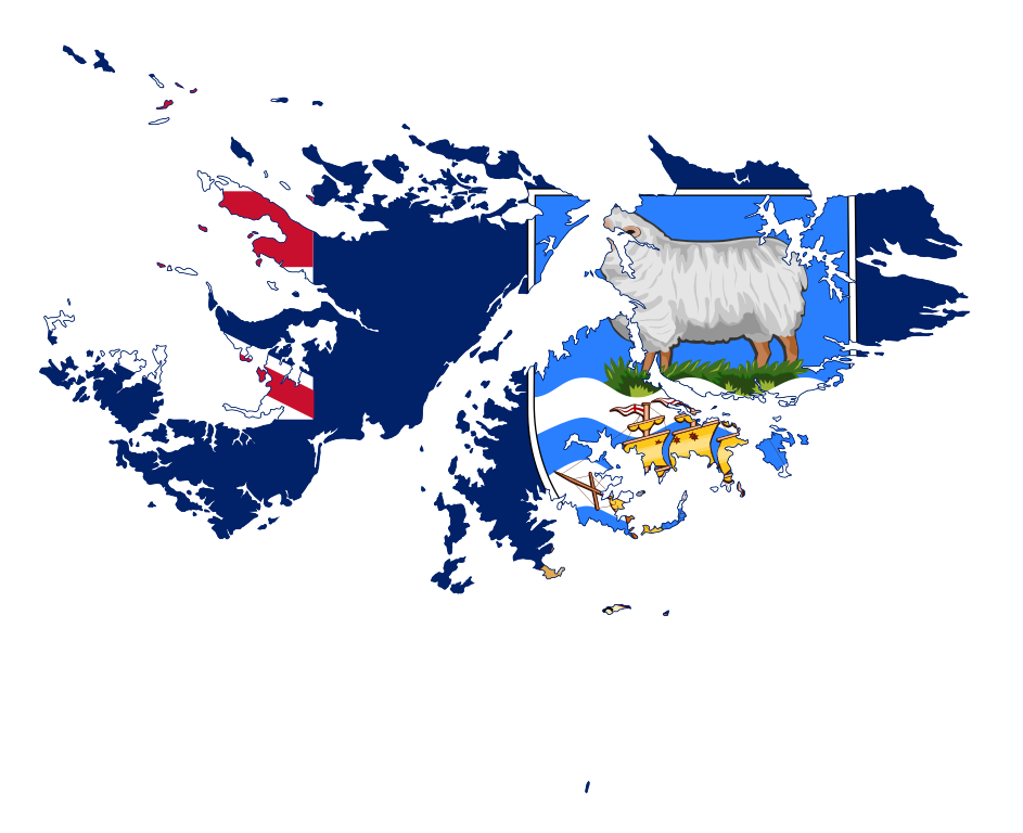
| Beskrivelse | Flag-map of the Falkland Islands |
| Dato | |
| Kilde | self-made using Image:Flag of the Falkland Islands.svg and Image:Falkland Islands location map.svg |
| Forfatter | Darwinek |
Jeg, dette værks ophavsretsindehaver, udgiver hermed værket under den følgende licens:
Denne fil er udgivet under Creative Commons Kreditering-Del på samme vilkår 3.0 Ikke-porteret-licensen.
- Du må frit:
- at dele – at kopiere, distribuere og overføre værket
- at remixe – at tilpasse værket
- Under følgende vilkår:
- kreditering – Du skal give passende kreditering, angive et link til licensen, og oplyse om der er foretaget ændringer. Du må gøre det på enhver fornuftig måde, men ikke på en måde der antyder at licensgiveren godkender dig eller din anvendelse.
- deling på samme vilkår – Hvis du bearbejder, ændrer eller bygger videre på dette værk, skal du distribuere dine bidrag under den samme eller en kompatibel licens som originalen.

|
Tilladelse er givet til at kopiere, distribuere og/eller ændre dette dokument under betingelserne i GNU Free Documentation License', Version 1.2 eller enhver senere version udgivet af Free Software Foundation; uden et invariant afsnit, ingen forsidetekster, og ingen bagsidetekst. En kopi af licensen er inkluderet i afsnittet GNU Free Documentation License. |
Du kan vælge den licens du foretrækker.
Filhistorik
Klik på en dato/tid for at se filen som den så ud på det tidspunkt.
| Dato/tid | Miniaturebillede | Dimensioner | Bruger | Kommentar | |
|---|---|---|---|---|---|
| nuværende | 6. mar. 2022, 22:22 | | 512 × 417 (245 KB) | Flagvisioner | updated |
| 17. apr. 2016, 00:05 |  | 977 × 787 (344 KB) | Stasyan117 | corrected | |
| 29. jan. 2015, 01:27 |  | 977 × 787 (345 KB) | Stasyan117 | Обводка и корректировка | |
| 27. jun. 2010, 13:03 |  | 796 × 489 (411 KB) | Darwinek | {{Information |Description=. |Source={{own}} |Date= |Author=Darwinek |Permission= |other_versions= }} |
Filanvendelse
Der er ingen sider der bruger denne fil.
Global filanvendelse
Følgende andre wikier anvender denne fil:
- Anvendelser på en.wikipedia.org
- Beaver Island, Falkland Islands
- Barren Island, Falkland Islands
- George Island
- Camp (Falkland Islands)
- Port San Carlos
- Mount Maria
- Mount Longdon
- Hornby Mountains
- Salvador Settlement
- Cape Meredith
- Bluff Cove
- Grand Jason Island
- North Arm
- Wickham Heights
- Template:Falklands-geo-stub
- User:Zozoulia
- Choiseul Sound
- Passage Islands
- Tyssen Islands
- Swan Islands, Falkland Islands
- Brenton Loch
- Warrah River
- Ruggles Island
- Hope Place
- Chartres River
- Murrell River
- Port Stephens, Falkland Islands
- Hoste Inlet
- Port Albemarle
- Chartres, Falkland Islands
- Roy Cove
- Storm Mountain, Falkland Islands
- Blackburn River
- King George Bay
- Byron Sound
- Walker Creek, Falkland Islands
- San Carlos River (Falkland Islands)
- Jack's Mountain
- Volunteer Point
- Green Patch
- MacBride Head
- Calm Head
- Grantham Sound
- Ajax Bay
- Golding Island
- Cape Dolphin
- Kidney Island
- Teal Inlet
- Douglas, Falkland Islands
- Rincon Grande
Vis flere globale anvendelser af denne fil.