
Fil:Geodesy Collection Pitcairn Island.jpg

Størrelse af denne forhåndsvisning: 632 × 600 pixels. Andre opløsninger: 253 × 240 pixels | 506 × 480 pixels | 809 × 768 pixels | 1.024 × 972 pixels.
Fuld opløsning (1.024 × 972 billedpunkter, filstørrelse: 155 KB, MIME-type: image/jpeg)
|
|
Denne fil er fra Wikimedia Commons. Beskrivelsen af filen fra Commons er gengivet nedenfor. |
Beskrivelse
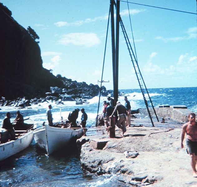
| Beskrivelse | Landing on Pitcairn Island |
| Dato | Ukendt dato |
| Kilde | http://www.photolib.noaa.gov/htmls/geod0154.htm |
| Forfatter | NOAA |
| Tilladelse (Genbrug af denne fil) |
see NOAA's About the Images |
Licensering
This image is in the public domain because it contains materials that originally came from the U.S. National Oceanic and Atmospheric Administration, taken or made as part of an employee's official duties.
|
Oprindelig oplægningslog
(All user names refer to en.wikipedia)
- 2004-10-26 08:17 Chris 73 1024×972×8 (158629 bytes) pitcairn island
Filhistorik
Klik på en dato/tid for at se filen som den så ud på det tidspunkt.
| Dato/tid | Miniaturebillede | Dimensioner | Bruger | Kommentar | |
|---|---|---|---|---|---|
| nuværende | 18. sep. 2007, 13:16 | | 1.024 × 972 (155 KB) | Liftarn | {{Information |Description=en:Pitcairn Islands Image ID: geod0154, Geodesy Collection, Station Number 039 Location: Pitcairn Island Source: [http://www.photolib.noaa.gov/geodesy/geod0154.htm NOAA] |Source=Originally from [http://en.wikipedia.org en |
Filanvendelse
Der er ingen sider der bruger denne fil.
Global filanvendelse
Følgende andre wikier anvender denne fil:
- Anvendelser på ar.wikipedia.org
- Anvendelser på ast.wikipedia.org
- Anvendelser på bg.wikipedia.org
- Anvendelser på bs.wikipedia.org
- Anvendelser på ca.wikipedia.org
- Anvendelser på de.wikipedia.org
- Anvendelser på el.wikipedia.org
- Anvendelser på en.wikipedia.org
- Anvendelser på es.wikipedia.org
- Anvendelser på gl.wikipedia.org
- Anvendelser på hu.wikipedia.org
- Anvendelser på id.wikipedia.org
- Anvendelser på mk.wikipedia.org
- Anvendelser på mt.wikipedia.org
- Anvendelser på pih.wikipedia.org
- Anvendelser på ru.wikipedia.org
- Anvendelser på vi.wikipedia.org