
Fil:Moray UK location map.svg

Size of this PNG preview of this SVG file: 595 × 599 pixels. Andre opløsninger: 238 × 240 pixels | 477 × 480 pixels | 763 × 768 pixels | 1.017 × 1.024 pixels | 2.034 × 2.048 pixels | 1.414 × 1.424 pixels.
Fuld opløsning (SVG fil, basisstørrelse 1.414 × 1.424 pixels, filstørrelse: 1,22 MB)
|
|
Denne fil er fra Wikimedia Commons. Beskrivelsen af filen fra Commons er gengivet nedenfor. |
| Beskrivelse |
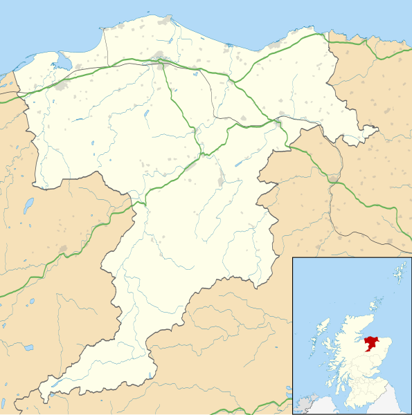
Blank map of Moray, UK with the following information shown:
Equirectangular map projection on WGS 84 datum, with N/S stretched 180% Geographic limits:
|
| Dato | |
| Kilde |
|
| Forfatter | Nilfanion, created using Ordnance Survey data |
| Tilladelse (Genbrug af denne fil) |
Denne fil er udgivet under Creative Commons Kreditering-Del på samme vilkår 3.0 Ikke-porteret-licensen. Kreditering: Contains Ordnance Survey data © Crown copyright and database right
|
| Andre versioner | File:Moray UK blank map.svg - Blank map |
Filhistorik
Klik på en dato/tid for at se filen som den så ud på det tidspunkt.
| Dato/tid | Miniaturebillede | Dimensioner | Bruger | Kommentar | |
|---|---|---|---|---|---|
| nuværende | 26. sep. 2010, 22:18 | | 1.414 × 1.424 (1,22 MB) | Nilfanion | {{Information |Description=Blank map of Moray, UK with the following information shown: *Administrative borders *Coastline, lakes and rivers *Roads and railways *Urban areas Equirectangular map projection on WGS 84 datum, with N/S stretched 1 |
Filanvendelse
Der er ingen sider der bruger denne fil.
Global filanvendelse
Følgende andre wikier anvender denne fil:
- Anvendelser på ar.wikipedia.org
- Anvendelser på azb.wikipedia.org
- Anvendelser på bg.wikipedia.org
- Anvendelser på ceb.wikipedia.org
- Anvendelser på cy.wikipedia.org
- Anvendelser på de.wikipedia.org
- Anvendelser på en.wikipedia.org
- Maggieknockater
- List of monastic houses in Scotland
- Moray
- Elgin, Moray
- The Glenlivet distillery
- Dufftown
- Forres
- Lossiemouth
- Burghead
- RAF Lossiemouth
- RAF Kinloss
- Brodie Castle
- Ballindalloch Castle
- The Macallan distillery
- Buckie
- Glenfiddich distillery
- Findochty
- Fochabers
- Aberlour
- Cullen, Moray
- Tomintoul
- Burghead Transmitting Station
- Keith, Moray
- Mosstodloch
- Rothes
- Findhorn
- Kinloss, Scotland
- Portknockie
- Achnastank
- Drummuir
- Rathven
- Dallas, Moray
- Longmorn
- Borough Briggs
- Craigellachie, Moray
- Mosset Park
- Newmill
- Cummingston
- Hopeman
- Dr Gray's Hospital
Vis flere globale anvendelser af denne fil.