
Fil:Position of Southland Region.png
Der findes ingen højere opløsning af billedet
Position_of_Southland_Region.png (405 × 590 billedpunkter, filstørrelse: 7 KB, MIME-type: image/png)
|
|
Denne fil er fra Wikimedia Commons. Beskrivelsen af filen fra Commons er gengivet nedenfor. |
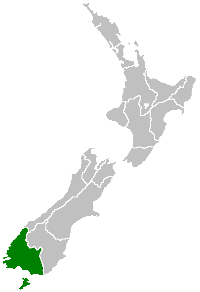
Region of New Zealand, position on the map (source:English Wiki)
| |
Dette værk er (allerede eller hermed) frigivet som public domain af sin ophavsretshaver, Furius på Wikimedia Commons projektet. Dette gælder i hele verden. Såfremt lokal lovgivning ikke tillader dette: |
Filhistorik
Klik på en dato/tid for at se filen som den så ud på det tidspunkt.
| Dato/tid | Miniaturebillede | Dimensioner | Bruger | Kommentar | |
|---|---|---|---|---|---|
| nuværende | 27. apr. 2005, 09:41 | | 405 × 590 (7 KB) | Domie~commonswiki | Region of New Zealand, position on the map (source:English Wiki) {{PD}} Category:Maps of New Zealand |
Filanvendelse
Der er ingen sider der bruger denne fil.
Global filanvendelse
Følgende andre wikier anvender denne fil:
- Anvendelser på en.wikipedia.org
- Pearl Harbour, New Zealand
- Halfmoon Bay (Stewart Island)
- Mavora Lakes
- Mount Anglem
- Te Waewae Bay
- Toetoes Bay
- Oreti Beach
- South Cape / Whiore
- Anchorage Island (New Zealand)
- Gore Aerodrome
- Waipapa Point
- Mount Pye (New Zealand)
- Porpoise Bay (New Zealand)
- Drummond, New Zealand
- Template:Southland-geo-stub
- Browns, New Zealand
- Springhills
- Rakahouka
- Longbush, Southland
- Roslyn Bush
- Glencoe, New Zealand
- Waitane
- Te Tipua
- Birchwood, New Zealand
- Murihiku
- Anderson Park, Invercargill
- Great South Basin
- Waimatuku
- Pukewao
- Te Peka
- Fortification, New Zealand
- Titiroa
- Pine Bush, New Zealand
- Kapuka South
- Oteramika
- Timpanys
- Waikawa, Southland
- White Hill Wind Farm
- Lorneville, New Zealand
- Rakatu Wetlands
- Kepler Mire
- Mount Allen, Stewart Island
- Wallace County, New Zealand
- Big Bay (New Zealand)
- Clifden Limestone Caves
- Raratoka Island
- Longwood Range
- Waimea Plain (Southland)
- Waituna Lagoon
- Lake Henry (New Zealand)
Vis flere globale anvendelser af denne fil.