
Fil:Spratly Islands relief location map.svg

Size of this PNG preview of this SVG file: 671 × 599 pixels. Andre opløsninger: 269 × 240 pixels | 538 × 480 pixels | 860 × 768 pixels | 1.147 × 1.024 pixels | 2.293 × 2.048 pixels | 720 × 643 pixels.
Fuld opløsning (SVG fil, basisstørrelse 720 × 643 pixels, filstørrelse: 2,23 MB)
|
|
Denne fil er fra Wikimedia Commons. Beskrivelsen af filen fra Commons er gengivet nedenfor. |
Beskrivelse
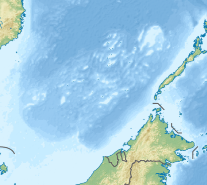
| Beskrivelse |
English: Location map of the Spratly Islands relief
N-S stretching 102.0004% in SVG file. Geographic limits of the map:
|
| Dato | |
| Kilde | Eget arbejde |
| Forfatter | LuciferAhriman |
| Andre versioner |
|

Licensering
Jeg, dette værks ophavsretsindehaver, publicerer hermed værket under den følgende licens:
This file is licensed under the Creative Commons Attribution-Share Alike 4.0 International license.
- Du må frit:
- at dele – at kopiere, distribuere og overføre værket
- at remixe – at tilpasse værket
- Under følgende vilkår:
- kreditering – Du skal give passende kreditering, angive et link til licensen, og oplyse om der er foretaget ændringer. Du må gøre det på enhver fornuftig måde, men ikke på en måde der antyder at licensgiveren godkender dig eller din anvendelse.
- deling på samme vilkår – Hvis du bearbejder, ændrer eller bygger videre på dette værk, skal du distribuere dine bidrag under den samme eller en kompatibel licens som originalen.
Filhistorik
Klik på en dato/tid for at se filen som den så ud på det tidspunkt.
| Dato/tid | Miniaturebillede | Dimensioner | Bruger | Kommentar | |
|---|---|---|---|---|---|
| nuværende | 17. okt. 2020, 10:47 | | 720 × 643 (2,23 MB) | LuciferAhriman | Uploaded own work with UploadWizard |
Filanvendelse
Der er ingen sider der bruger denne fil.
Global filanvendelse
Følgende andre wikier anvender denne fil:
- Anvendelser på bcl.wikipedia.org
- Anvendelser på en.wikipedia.org
- West York Island
- Southwest Cay
- Taiping Island
- James Shoal
- Thitu Island
- Loaita Island
- Sin Cowe Island
- Flat Island (South China Sea)
- Swallow Reef
- Namyit Island
- Northeast Cay
- Nanshan Island
- Lankiam Cay
- Spratly Island
- Sand Cay
- Amboyna Cay
- Johnson South Reef
- Subi Reef
- Mischief Reef
- Ladd Reef
- Erica Reef
- Mariveles Reef
- Louisa Reef
- Investigator Shoal
- Ardasier Reef
- Dallas Reef
- Zhongzhou Reef
- Half Moon Shoal
- Fiery Cross Reef
- Cuarteron Reef
- Gaven Reefs
- Second Thomas Shoal
- Irving Reef
- Hughes Reef
- Collins Reef
- Sabina Shoal
- Bombay Castle (South China Sea)
- North Danger Reef
- Western Reef
- Cornwallis South Reef
- Royal Captain Shoal
- Northeast Investigator Shoal
- First Thomas Shoal
- Third Thomas Shoal
- Commodore Reef
- Loaita Cay
- Module:Location map/data/Spratly Islands relief
Vis flere globale anvendelser af denne fil.