
Fil:Warwickshire UK location map.svg

Size of this PNG preview of this SVG file: 493 × 599 pixels. Andre opløsninger: 197 × 240 pixels | 395 × 480 pixels | 632 × 768 pixels | 843 × 1.024 pixels | 1.686 × 2.048 pixels | 1.042 × 1.266 pixels.
Fuld opløsning (SVG fil, basisstørrelse 1.042 × 1.266 pixels, filstørrelse: 2,18 MB)
|
|
Denne fil er fra Wikimedia Commons. Beskrivelsen af filen fra Commons er gengivet nedenfor. |
| Beskrivelse |
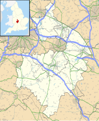
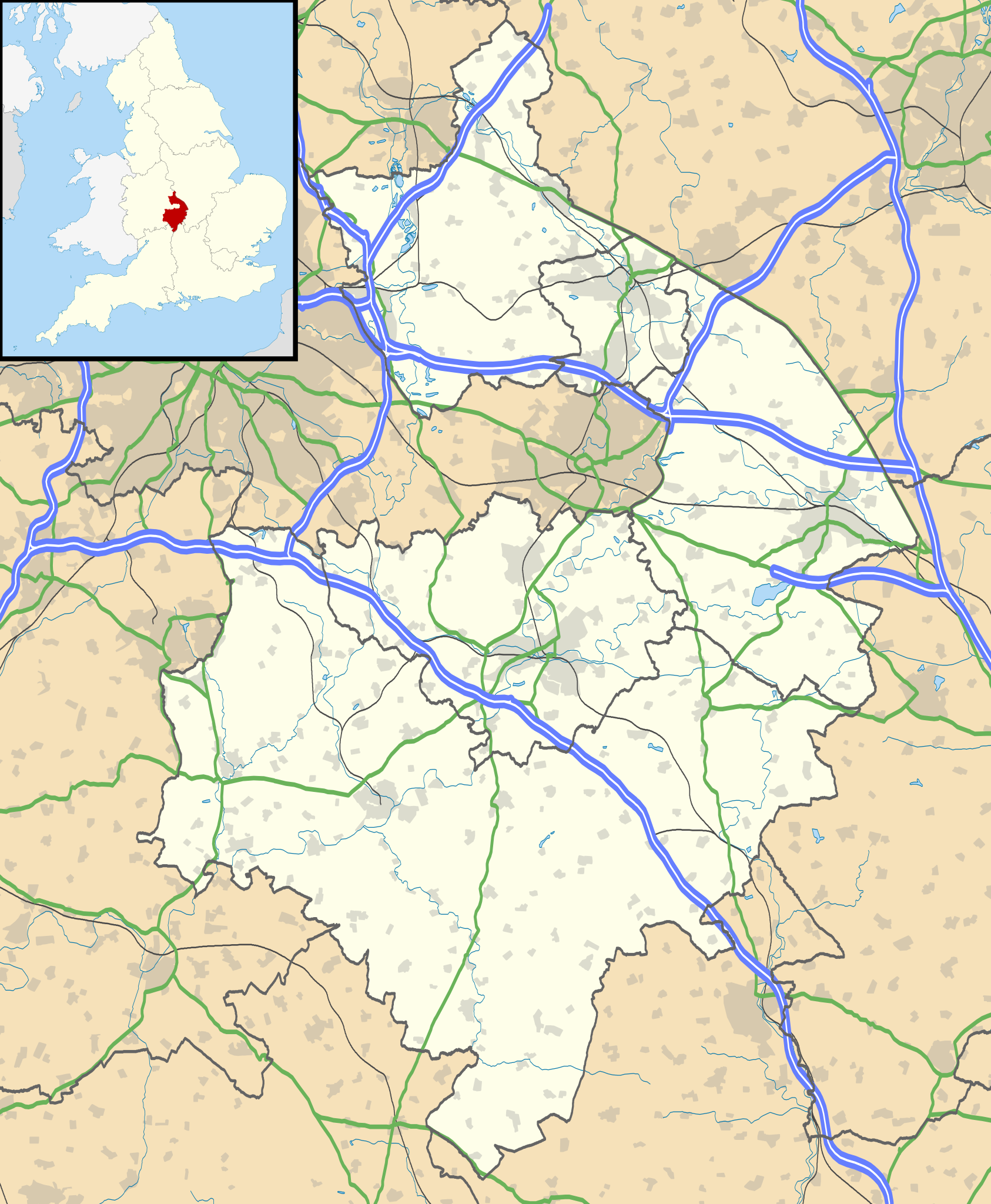
Map of Warwickshire, UK with the following information shown:
Equirectangular map projection on WGS 84 datum, with N/S stretched 160% Geographic limits:
|
| Dato | |
| Kilde |
|
| Forfatter | Nilfanion, created using Ordnance Survey data |
| Tilladelse (Genbrug af denne fil) |
Denne fil er udgivet under Creative Commons Kreditering-Del på samme vilkår 3.0 Ikke-porteret-licensen. Kreditering: Contains Ordnance Survey data © Crown copyright and database right
|
| Andre versioner | File:Warwickshire UK district map (blank).svg - Blank map |
.svg)
Filhistorik
Klik på en dato/tid for at se filen som den så ud på det tidspunkt.
| Dato/tid | Miniaturebillede | Dimensioner | Bruger | Kommentar | |
|---|---|---|---|---|---|
| nuværende | 26. sep. 2010, 21:17 | | 1.042 × 1.266 (2,18 MB) | Nilfanion | {{Information |Description=Map of Warwickshire, UK with the following information shown: *Administrative borders *Coastline, lakes and rivers *Roads and railways *Urban areas Equirectangular map projection on WGS 84 datum, with N/S str |
Filanvendelse
Der er ingen sider der bruger denne fil.
Global filanvendelse
Følgende andre wikier anvender denne fil:
- Anvendelser på ar.wikipedia.org
- Anvendelser på bg.wikipedia.org
- Anvendelser på ceb.wikipedia.org
- Anvendelser på en.wikipedia.org
- Kenilworth Castle
- Stratford-upon-Avon
- Kenilworth
- Rugby, Warwickshire
- Battle of Edgehill
- Napton on the Hill
- Warwick Castle
- Leamington Spa
- Nuneaton
- Southam
- Warwick
- Bedworth
- Atherstone
- Mancetter
- Ryton-on-Dunsmore
- Alcester
- Shipston-on-Stour
- Dunchurch
- Warwickshire
- Wellesbourne Watermill
- Whitnash
- Bulkington
- Kineton
- Studley, Warwickshire
- Brinklow
- Monks Kirby
- Gaydon
- Leek Wootton
- Bodymoor Heath
- Compton Wynyates
- Long Compton
- Ansty, Warwickshire
- Coleshill, Warwickshire
- Broadwell, Warwickshire
- Bidford-on-Avon
- Rugby Radio Station
- Newbold-on-Avon
- Kingsbury, Warwickshire
- Binley Woods
- Long Lawford
- Willoughby, Warwickshire
- Wibtoft
- Wolston
- Newton, Warwickshire
- Burton Green
Vis flere globale anvendelser af denne fil.