
Fil:Captain John Smith Statue, Historic Jamestowne, Colonial National Historical Park, Jamestown, Virginia (14239039490).jpg

Fuld opløsning (4.000 × 3.000 billedpunkter, filstørrelse: 4,63 MB, MIME-type: image/jpeg)
|
|
Denne fil er fra Wikimedia Commons. Beskrivelsen af filen fra Commons er gengivet nedenfor. |
.jpg?uselang=da)
Beskrivelse
| Beskrivelse |
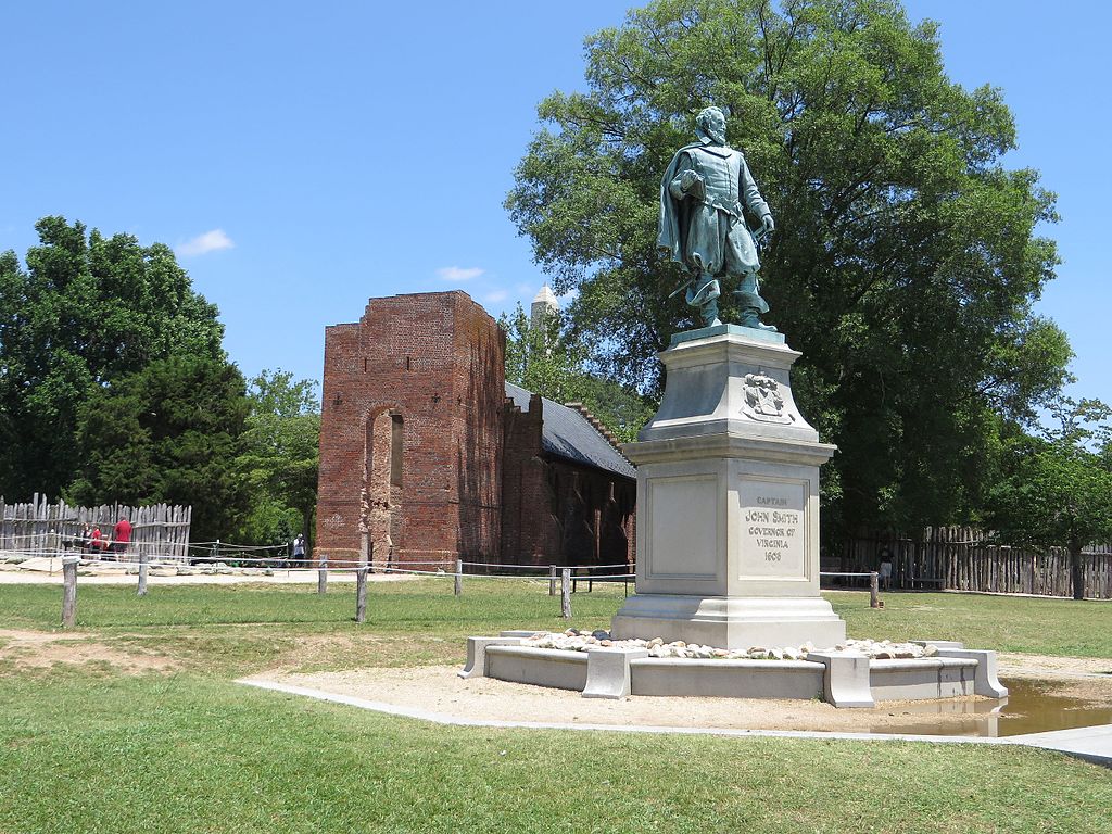
John Smith (c. January 1580 – 21 June 1631) Admiral of New England was an English soldier, explorer, and author. He was knighted for his services to Sigismund Bathory, Prince of Transylvania and his friend Mózes Székely. He was considered to have played an important part in the establishment of the first permanent English settlement in North America. He was a leader of the Virginia Colony (based at Jamestown) between September 1608 and August 1609, and led an exploration along the rivers of Virginia and the Chesapeake Bay. He was the first English explorer to map the Chesapeake Bay area and New England. Smith's books and maps are considered extremely important in encouraging and supporting English colonisation of the New World. He gave the name New England to the region and noted: "Here every man may be master and owner of his owne labour and land... If he have nothing but his hands, he may...by industrie quickly grow rich." When Jamestown was England's first permanent settlement in the New World, Smith trained the settlers to farm and work, thus saving the colony from early devastation. He publicly stated "he who shall not work, shall not eat". This strength of character and determination overcame problems presented from the hostile native Americans, the wilderness and the troublesome and uncooperative English settlers. Harsh weather, lack of water, living in a swampy wilderness, English unwillingness to work, and attacks from the Powhatan nation almost destroyed the colony. en.wikipedia.org/wiki/John_Smith_(explorer) en.wikipedia.org/wiki/Wikipedia:Text_of_Creative_Commons_... |
| Dato | |
| Kilde | Captain John Smith Statue, Historic Jamestowne, Colonial National Historical Park, Jamestown, Virginia |
| Forfatter | Ken Lund from Reno, Nevada, USA |
| Kameraposition | | Dette og andre billeder på deres position på: OpenStreetMap |
|---|
.jpg¶ms=037.208275_N_-076.778989_E_globe:Earth_type:camera_source:Flickr_&language=da)
Licensering
- Du må frit:
- at dele – at kopiere, distribuere og overføre værket
- at remixe – at tilpasse værket
- Under følgende vilkår:
- kreditering – Du skal give passende kreditering, angive et link til licensen, og oplyse om der er foretaget ændringer. Du må gøre det på enhver fornuftig måde, men ikke på en måde der antyder at licensgiveren godkender dig eller din anvendelse.
- deling på samme vilkår – Hvis du bearbejder, ændrer eller bygger videre på dette værk, skal du distribuere dine bidrag under den samme eller en kompatibel licens som originalen.
| This image was originally posted to Flickr by Ken Lund at https://flickr.com/photos/75683070@N00/14239039490. It was reviewed on 3. november 2016 by FlickreviewR and was confirmed to be licensed under the terms of the cc-by-sa-2.0. |
Filhistorik
Klik på en dato/tid for at se filen som den så ud på det tidspunkt.
| Dato/tid | Miniaturebillede | Dimensioner | Bruger | Kommentar | |
|---|---|---|---|---|---|
| nuværende | 3. nov. 2016, 18:24 | | 4.000 × 3.000 (4,63 MB) | Ser Amantio di Nicolao | Transferred from Flickr via Flickr2Commons |
Filanvendelse
Den følgende side bruger denne fil:
Global filanvendelse
Følgende andre wikier anvender denne fil:
- Anvendelser på ar.wikipedia.org
- Anvendelser på arz.wikipedia.org
- Anvendelser på az.wikipedia.org
- Anvendelser på ca.wikipedia.org
- Anvendelser på ce.wikipedia.org
- Anvendelser på cy.wikipedia.org
- Anvendelser på en.wikipedia.org
- Anvendelser på eo.wikipedia.org
- Anvendelser på eu.wikipedia.org
- Anvendelser på fr.wikipedia.org
- Anvendelser på he.wikipedia.org
- Anvendelser på pl.wikipedia.org
- Anvendelser på ru.wikipedia.org
- Anvendelser på tt.wikipedia.org
- Anvendelser på uz.wikipedia.org
- Anvendelser på www.wikidata.org
.jpg)