
Fil:EC12-1990 European Community map.svg

Size of this PNG preview of this SVG file: 680 × 520 pixels. Andre opløsninger: 314 × 240 pixels | 628 × 480 pixels | 1.004 × 768 pixels | 1.280 × 979 pixels | 2.560 × 1.958 pixels.
Fuld opløsning (SVG fil, basisstørrelse 680 × 520 pixels, filstørrelse: 594 KB)
|
|
Denne fil er fra Wikimedia Commons. Beskrivelsen af filen fra Commons er gengivet nedenfor. |
Beskrivelse
| Beskrivelse |
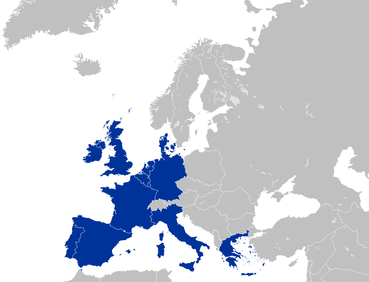
English: European Community (EC 12)
Deutsch: Europäische Gemeinschaft |
| Dato | |
| Kilde | Eget arbejde |
| Forfatter | Kolja21 |
| Andre versioner |
|


Color scheme
- Europe blue / Europablau / azul europeo / bleu européenne (Pantone; RGB 003399): EU current members
- Regent St Blue (RAL 6034; RGB 9ac0cd): Transition period (see Brexit withdrawal agreement)
- Pantone yellow / Gelb / amarillo / jaune (Pantone; RGB ffcc00): EU new members
- Light blue / Lichtblau / azul claro / bleu clair (RGB 2782bb): EU candidate countries
- Light green / Lichtgrün / verde claro / vert clair (RGB 77bbbc): EU potential candidate countries
- Lawngreen / Grasgrün / verde hierba / vert pré (RGB a0e200): EU membership possible
- Orange / Orange / anaranjado / orange (RGB ff6600): Eastern Partnership
- Emerald green / Smaragdgrün / verde esmeralda / smaragdin (RAL 6001; RGB 276d3a): EFTA member states
- Pastel green / Weißgrün / verde blanquecino / vert blanc (RAL 6019; RGB b3d9b4): EFTA former member states
Licensering
Jeg, dette værks ophavsretsindehaver, publicerer hermed værket under den følgende licens:
Denne fil er licenseret under Creative Commons Navngivelse 3.0 Unported-licensen.
- Du må frit:
- at dele – at kopiere, distribuere og overføre værket
- at remixe – at tilpasse værket
- Under følgende vilkår:
- kreditering – Du skal give passende kreditering, angive et link til licensen, og oplyse om der er foretaget ændringer. Du må gøre det på enhver fornuftig måde, men ikke på en måde der antyder at licensgiveren godkender dig eller din anvendelse.
Filhistorik
Klik på en dato/tid for at se filen som den så ud på det tidspunkt.
| Dato/tid | Miniaturebillede | Dimensioner | Bruger | Kommentar | |
|---|---|---|---|---|---|
| nuværende | 16. jun. 2016, 05:03 | | 680 × 520 (594 KB) | Turnless | Improved version |
| 24. maj 2009, 02:07 |  | 680 × 520 (421 KB) | Kolja21 | {{Information |Description={{en|1=European Community (EC 12)}} {{de|1=Europäische Gemeinschaft}} |Source=Eigenes Werk (own work) |Author=Kolja21 |Date=2009-05-24 |Permission= |other_versions= }} <!--{{ImageU |
Filanvendelse
Der er ingen sider der bruger denne fil.
Global filanvendelse
Følgende andre wikier anvender denne fil:
- Anvendelser på es.wikipedia.org
- Anvendelser på et.wikipedia.org
- Anvendelser på fr.wikipedia.org
- Anvendelser på gl.wikipedia.org
- Anvendelser på mwl.wikipedia.org
- Anvendelser på pt.wikipedia.org