
Fil:European Union Israel Locator.svg

Size of this PNG preview of this SVG file: 800 × 589 pixels. Andre opløsninger: 320 × 236 pixels | 640 × 471 pixels | 1.024 × 754 pixels | 1.280 × 943 pixels | 2.560 × 1.886 pixels | 2.039 × 1.502 pixels.
Fuld opløsning (SVG fil, basisstørrelse 2.039 × 1.502 pixels, filstørrelse: 640 KB)
|
|
Denne fil er fra Wikimedia Commons. Beskrivelsen af filen fra Commons er gengivet nedenfor. |
Beskrivelse
| Beskrivelse |
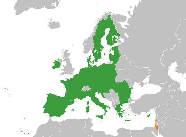
English: The European Union and Israel |
| Dato | |
| Kilde | Eget arbejde |
| Forfatter | Ssolbergj |
| Andre versioner | Derivative works of this file: European Union Greenland Locator.svg |
Licensering
Jeg, dette værks ophavsretsindehaver, publicerer hermed værket under den følgende licens:
Denne fil er udgivet under Creative Commons Kreditering-Del på samme vilkår 3.0 Ikke-porteret-licensen.
- Du må frit:
- at dele – at kopiere, distribuere og overføre værket
- at remixe – at tilpasse værket
- Under følgende vilkår:
- kreditering – Du skal give passende kreditering, angive et link til licensen, og oplyse om der er foretaget ændringer. Du må gøre det på enhver fornuftig måde, men ikke på en måde der antyder at licensgiveren godkender dig eller din anvendelse.
- deling på samme vilkår – Hvis du bearbejder, ændrer eller bygger videre på dette værk, skal du distribuere dine bidrag under den samme eller en kompatibel licens som originalen.
Filhistorik
Klik på en dato/tid for at se filen som den så ud på det tidspunkt.
| Dato/tid | Miniaturebillede | Dimensioner | Bruger | Kommentar | |
|---|---|---|---|---|---|
| nuværende | 22. dec. 2023, 04:12 | | 2.039 × 1.502 (640 KB) | Fjmustak | Use more widely recognized Israeli borders |
| 18. dec. 2023, 21:55 |  | 2.039 × 1.502 (639 KB) | Iktsokh | Clearing the map | |
| 27. mar. 2020, 11:39 |  | 2.039 × 1.502 (639 KB) | Hogweard | Update | |
| 2. jul. 2013, 12:46 |  | 2.047 × 1.720 (634 KB) | Treehill | (problem with the first file uploaded) | |
| 2. jul. 2013, 12:31 |  | 2.047 × 1.720 (861 KB) | Treehill | + Croatia | |
| 31. maj 2008, 15:25 |  | 2.047 × 1.720 (861 KB) | Ssolbergj | {{Information |Description= |Source= |Date= |Author= |Permission= |other_versions= }} | |
| 31. maj 2008, 14:23 |  | 2.047 × 1.720 (859 KB) | Ssolbergj | {{Information |Description={{en|1=The European Union and Israel}} |Source=Own work by uploader |Author=Ssolbergj |Date=31 May 2008 |Permission= |other_versions= }} {{ImageUpload|full}} [[Category:Maps of the European Union and third co |
Filanvendelse
Der er ingen sider der bruger denne fil.
Global filanvendelse
Følgende andre wikier anvender denne fil:
- Anvendelser på es.wikipedia.org
- Anvendelser på fr.wikipedia.org