
Fil:Flintshire UK location map.svg

Size of this PNG preview of this SVG file: 541 × 600 pixels. Andre opløsninger: 216 × 240 pixels | 433 × 480 pixels | 693 × 768 pixels | 924 × 1.024 pixels | 1.847 × 2.048 pixels | 1.177 × 1.305 pixels.
Fuld opløsning (SVG fil, basisstørrelse 1.177 × 1.305 pixels, filstørrelse: 758 KB)
|
|
Denne fil er fra Wikimedia Commons. Beskrivelsen af filen fra Commons er gengivet nedenfor. |
| Beskrivelse |
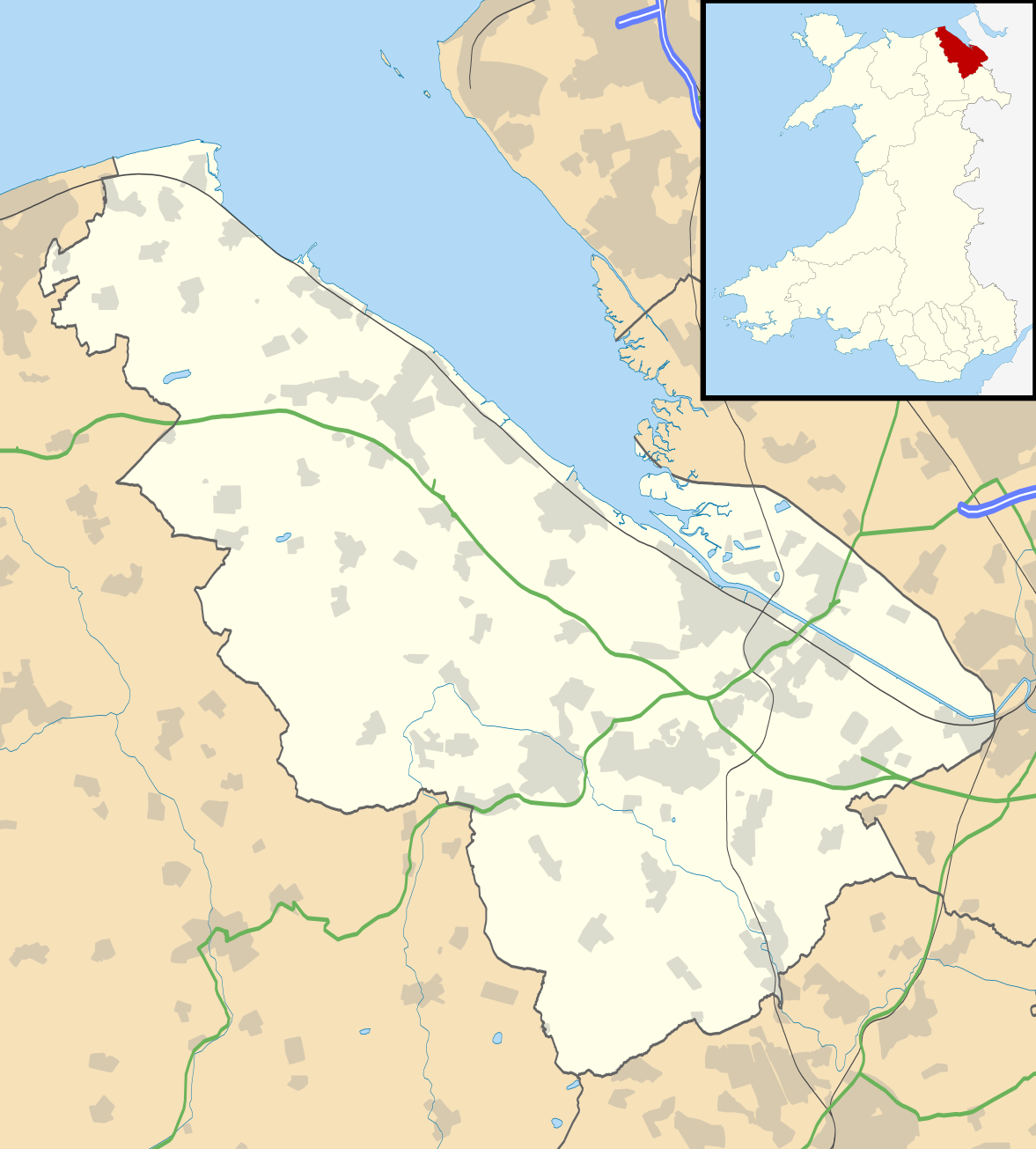
Blank map of Flintshire, UK with the following information shown:
Equirectangular map projection on WGS 84 datum, with N/S stretched 165% Geographic limits:
|
| Dato | |
| Kilde |
|
| Forfatter | Nilfanion, created using Ordnance Survey data |
| Tilladelse (Genbrug af denne fil) |
Denne fil er udgivet under Creative Commons Kreditering-Del på samme vilkår 3.0 Ikke-porteret-licensen. Kreditering: Contains Ordnance Survey data © Crown copyright and database right
|
| Andre versioner | File:Flintshire UK map.svg - Blank map |
Filhistorik
Klik på en dato/tid for at se filen som den så ud på det tidspunkt.
| Dato/tid | Miniaturebillede | Dimensioner | Bruger | Kommentar | |
|---|---|---|---|---|---|
| nuværende | 26. sep. 2010, 21:33 | | 1.177 × 1.305 (758 KB) | Nilfanion | {{Information |Description=Blank map of Flintshire, UK with the following information shown: *Administrative borders *Coastline, lakes and rivers *Roads and railways *Urban areas Equirectangular map projection on WGS 84 datum, with N/S s |
Filanvendelse
Den følgende side bruger denne fil:
Global filanvendelse
Følgende andre wikier anvender denne fil:
- Anvendelser på ar.wikipedia.org
- Anvendelser på ceb.wikipedia.org
- Anvendelser på cy.wikipedia.org
- Anvendelser på en.wikipedia.org
- List of monastic houses in Wales
- Hawarden
- Flintshire
- Flint, Flintshire
- Buckley, Flintshire
- Holywell, Flintshire
- Mold, Flintshire
- Queensferry, Flintshire
- Mostyn
- Shotton, Flintshire
- Point of Ayr
- Caergwrle
- Ewloe
- Northop Hall
- Talacre
- Caerwys
- Abermorddu
- Afonwen
- Mynydd Isa
- Sealand, Flintshire
- Bagillt
- Ogof Hesp Alyn
- Ogof Hen Ffynhonnau
- Pentre Halkyn
- Moel-y-Parc transmitting station
- Northop
- Broughton, Flintshire
- Sychdyn
- Dee Estuary
- Penyffordd
- Higher Kinnerton
- Hope, Flintshire
- Leeswood
- Treuddyn
- Nannerch
- Mancot
- Hawarden Airport
- Cilcain
- Rhosesmor
- Halkyn
- Aston Park, Flintshire
- Babell
- Gwernymynydd
- Pantymwyn
- Brynford
- Ysceifiog
- Deeside Community Hospital
Vis flere globale anvendelser af denne fil.