
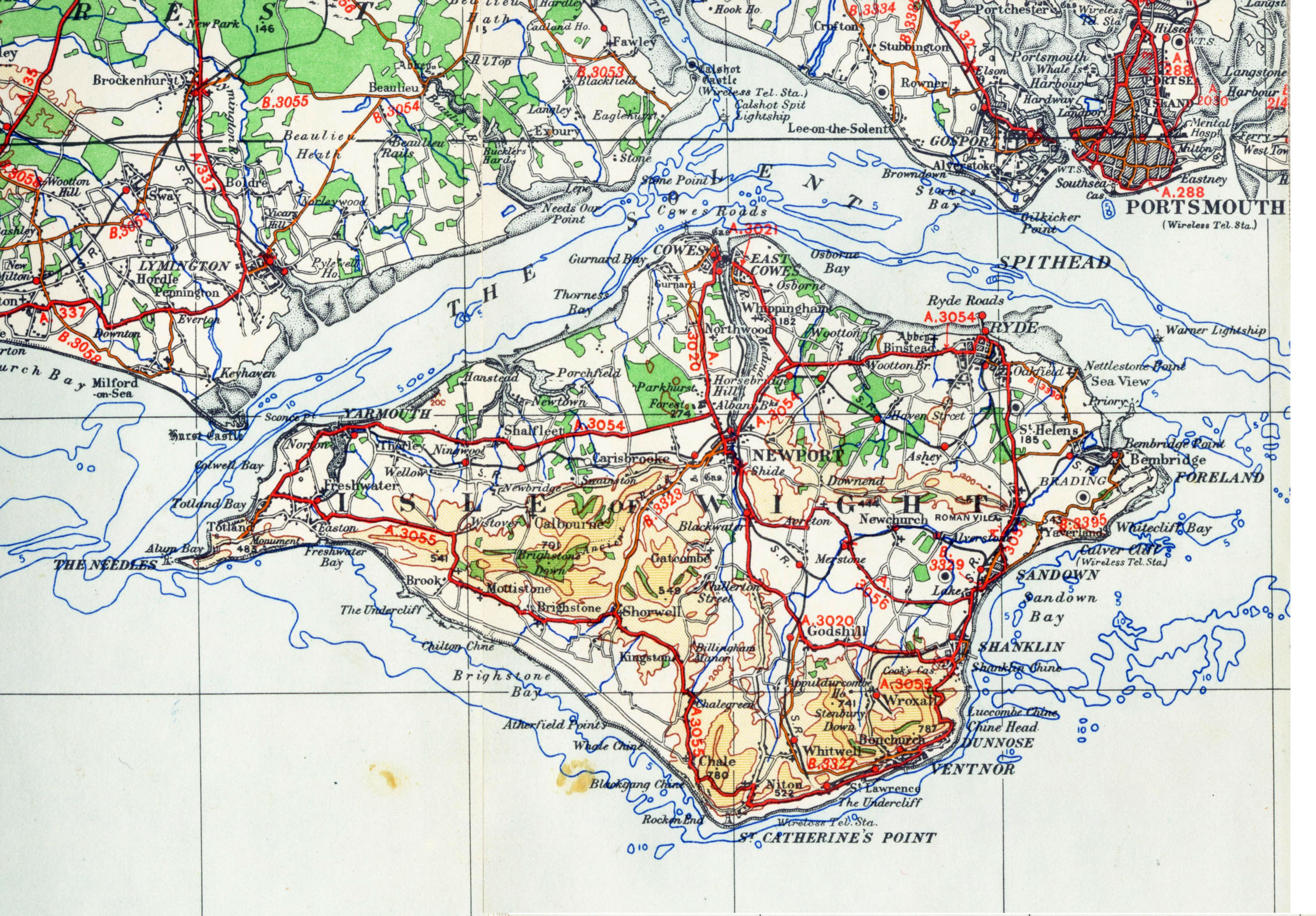
Fil:IsleofWightmap 1945.jpg
Størrelse af denne forhåndsvisning: 800 × 557 pixels. Andre opløsninger: 320 × 223 pixels | 640 × 446 pixels | 1.024 × 713 pixels | 1.280 × 891 pixels | 2.264 × 1.576 pixels.
Fuld opløsning (2.264 × 1.576 billedpunkter, filstørrelse: 996 KB, MIME-type: image/jpeg)
|
|
Denne fil er fra Wikimedia Commons. Beskrivelsen af filen fra Commons er gengivet nedenfor. |
This work is an Ordnance Survey map over 50 years old, which is covered by Crown Copyright which in this case expires 50 years after publication. Ordnance Survey does however ask that they be credited and that the date of publication be given.
Any ancillary rights gained through the creation of the electronic version are granted as freely usable under any circumstances.
|
This work created by the United Kingdom Government is in the public domain.
This is because it is one of the following:
HMSO has declared that the expiry of Crown Copyrights applies worldwide (ref: HMSO Email Reply)
|
 |
| Beskrivelse | OS map from 1945 1/4 inch to the mile sheet 11 |
| Dato | |
| Kilde | old OS map |
| Forfatter | OS |
| Andre versioner |
|

Filhistorik
Klik på en dato/tid for at se filen som den så ud på det tidspunkt.
| Dato/tid | Miniaturebillede | Dimensioner | Bruger | Kommentar | |
|---|---|---|---|---|---|
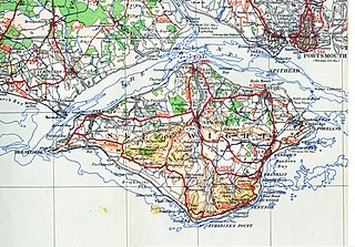
| nuværende | 10. nov. 2006, 23:45 | | 2.264 × 1.576 (996 KB) | Bastique | Modified levels, modified size to more manageable size. |
| 6. nov. 2006, 20:18 |  | 4.528 × 3.152 (6,06 MB) | Geni | {{oldOS}} {{Information |Description=OS map from 1945 1/4 inch to the mile sheet 11 |Source=old OS map |Date=1945 |Author=OS |Permission=none needed |other_versions= }} |
Filanvendelse
Den følgende side bruger denne fil:
Global filanvendelse
Følgende andre wikier anvender denne fil:
- Anvendelser på de.wikipedia.org
- Anvendelser på en.wikipedia.org
- Anvendelser på es.wikipedia.org
- Anvendelser på fr.wikipedia.org
- Anvendelser på fy.wikipedia.org
- Anvendelser på he.wikipedia.org
- Anvendelser på pl.wikipedia.org
- Anvendelser på ru.wikipedia.org
- Anvendelser på sv.wikipedia.org
- Anvendelser på zh.wikipedia.org