
Fil:Nidaros domkirke - Nidarosdomen, Sør-Trøndelag - Riksantikvaren-T324 02 0315.jpg
Fuld opløsning (3.464 × 2.576 billedpunkter, filstørrelse: 11,25 MB, MIME-type: image/jpeg)
|
|
Denne fil er fra Wikimedia Commons. Beskrivelsen af filen fra Commons er gengivet nedenfor. |
Beskrivelse
| Beskrivelse |
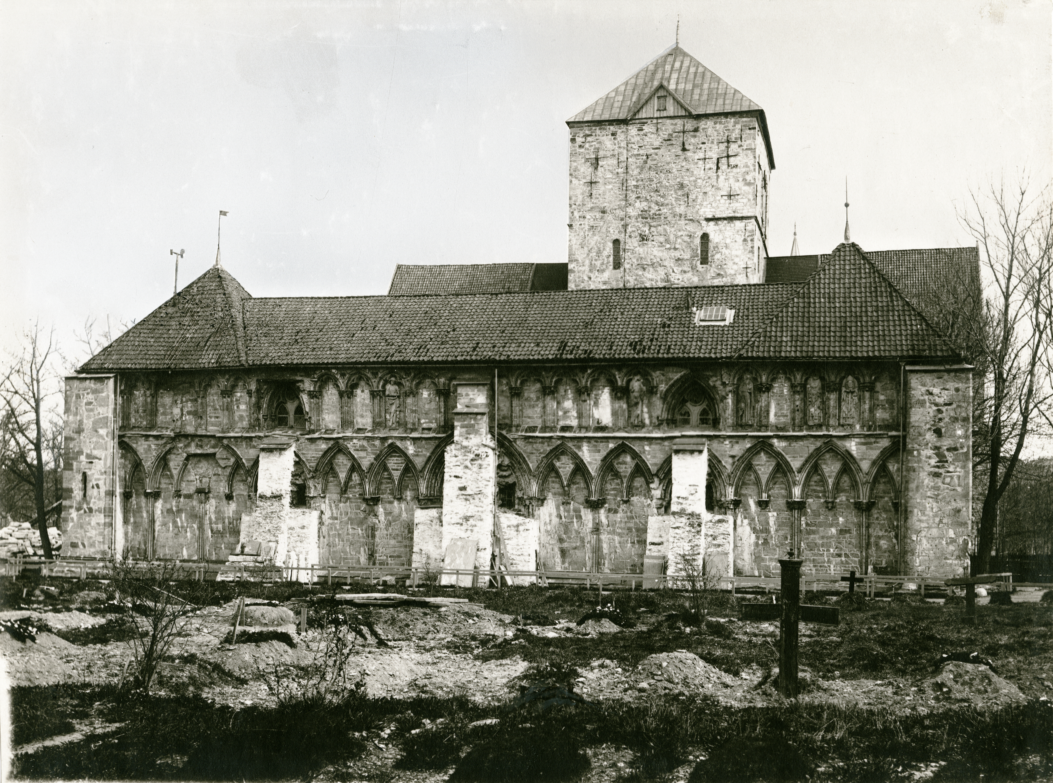
Norsk bokmål: Nidaros domkirke - Nidarosdomen i Trondheim, Sør-Trøndelag
|
||||||||||||||||||||||||||
| Dato | Ukendt dato | ||||||||||||||||||||||||||
| Kilde |
T324_02_0315 / Kulturminnebilder
|
||||||||||||||||||||||||||
| Forfatter | Ukendt | ||||||||||||||||||||||||||

| Objektposition | | Dette og andre billeder på deres position på: OpenStreetMap |
|---|
Licensering
| This image is in the public domain in Norway because images not considered to be "works of art" become public domain 50 years after creation, provided that more than 15 years have passed since the photographer's death or the photographer is unknown.
This is according to § 23 in the Norwegian Åndsverkloven. Under the former photo law, protection ended 25 years after creation, provided that more than 15 years had passed since the photographer's death or the photographer is unknown. The image is in the public domain if the protection ended before 29 June 1995 under the older term.[1] To uploader: Please provide information about where the image was first published, who created it, and when the photographer died, if known. The right to be attributed does not expire in Norway.
Images uploaded to Wikimedia Commons must also be in the public domain in the United States. A Norwegian work that is in the public domain in Norway is in the public domain in the U.S. only if it was in the public domain in Norway in 1996 and no copyright was registered in the U.S. (This is the effect of 17 USC 104A with its critical date of January 1, 1996.)
|
 |
Filhistorik
Klik på en dato/tid for at se filen som den så ud på det tidspunkt.
| Dato/tid | Miniaturebillede | Dimensioner | Bruger | Kommentar | |
|---|---|---|---|---|---|
| nuværende | 18. jan. 2014, 16:35 | | 3.464 × 2.576 (11,25 MB) | Riksbot | Image uploaded from Riksantikvarens image database |
Filanvendelse
Den følgende side bruger denne fil:
Global filanvendelse
Følgende andre wikier anvender denne fil:
- Anvendelser på de.wikipedia.org
- Anvendelser på en.wikipedia.org
- Anvendelser på fr.wikipedia.org
- Anvendelser på no.wikipedia.org
- Anvendelser på sl.wikipedia.org
- Anvendelser på sv.wikipedia.org