
Fil:Old Greenland 1747.jpg

Fuld opløsning (2.048 × 1.307 billedpunkter, filstørrelse: 2,23 MB, MIME-type: image/jpeg)
|
|
Denne fil er fra Wikimedia Commons. Beskrivelsen af filen fra Commons er gengivet nedenfor. |
Beskrivelse
| Beskrivelse |
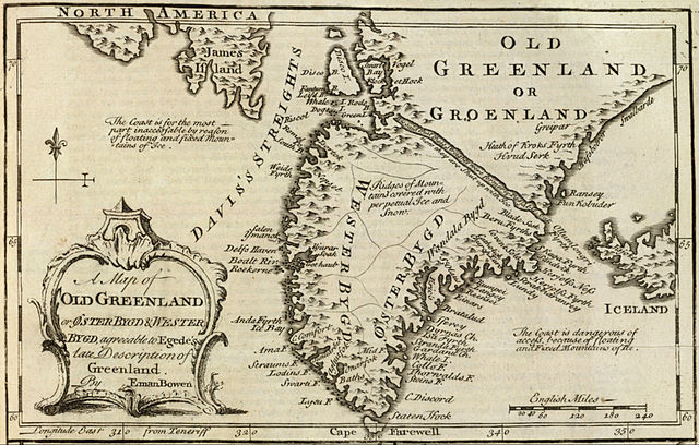
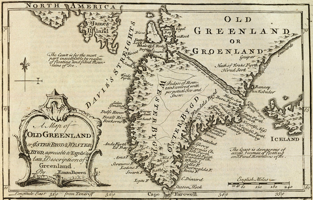
English: Cropped and rotated from the original.
|
| Dato | |
| Kilde | David Rumsey Collection |
| Forfatter | Emanuel Bowen (c. 1694–1767) |
Licensering
|
Dette er en troværdig, fotografisk gengivelse af et originalt todimensionelt kunstværk. Kopier af kunstværket er offentlig ejendom af følgende grund:
Den officielle holdning, som Wikimedia Foundation følger er, at "faithful reproductions of two-dimensional public domain works of art are public domain, and that claims to the contrary represent an assault on the very concept of a public domain". For yderligere oplysninger, se Commons:When to use the PD-Art tag.
Denne fotografiske gengivelse betragtes derfor også som værende offentlig ejendom Vær opmærksom på, at, afhængig af lokale love, kan brug af dette indhold forbydes eller begrænses i dit område. Se Commons:Reuse of PD-Art photographs. | ||||
Filhistorik
Klik på en dato/tid for at se filen som den så ud på det tidspunkt.
| Dato/tid | Miniaturebillede | Dimensioner | Bruger | Kommentar | |
|---|---|---|---|---|---|
| nuværende | 10. maj 2012, 17:21 | | 2.048 × 1.307 (2,23 MB) | LlywelynII |
Filanvendelse
Der er ingen sider der bruger denne fil.
Global filanvendelse
Følgende andre wikier anvender denne fil:
- Anvendelser på af.wikipedia.org
- Anvendelser på ar.wikipedia.org
- Anvendelser på bs.wikipedia.org
- Anvendelser på ca.wikipedia.org
- Anvendelser på ceb.wikipedia.org
- Anvendelser på cs.wikipedia.org
- Anvendelser på en.wikipedia.org
- Anvendelser på es.wikipedia.org
- Anvendelser på fa.wikipedia.org
- Anvendelser på fy.wikipedia.org
- Anvendelser på io.wikipedia.org
- Anvendelser på ko.wikipedia.org
- Anvendelser på pt.wikipedia.org
- Anvendelser på sv.wikipedia.org
- Anvendelser på te.wikipedia.org
- Anvendelser på tr.wikipedia.org
- Anvendelser på uk.wikipedia.org
- Anvendelser på www.wikidata.org
- Anvendelser på zh.wikipedia.org