
Fil:Provinces of the Netherlands.png
Størrelse af denne forhåndsvisning: 424 × 600 pixels. Andre opløsninger: 170 × 240 pixels | 339 × 480 pixels | 842 × 1.191 pixels.
Fuld opløsning (842 × 1.191 billedpunkter, filstørrelse: 121 KB, MIME-type: image/png)
|
|
Denne fil er fra Wikimedia Commons. Beskrivelsen af filen fra Commons er gengivet nedenfor. |
Beskrivelse
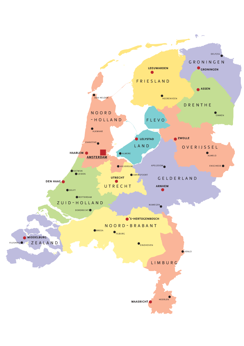
| Beskrivelse | Map of Provinces of Netherland |
| Dato | |
| Kilde | Eget arbejde |
| Forfatter | Norway.today |
Licensering
I, Norway.today, dette værks ophavsretsindehaver, udgiver hermed værket under følgende licenser:

|
Tilladelse er givet til at kopiere, distribuere og/eller ændre dette dokument under betingelserne i GNU Free Documentation License', Version 1.2 eller enhver senere version udgivet af Free Software Foundation; uden et invariant afsnit, ingen forsidetekster, og ingen bagsidetekst. En kopi af licensen er inkluderet i afsnittet GNU Free Documentation License. |
| Denne fil er udgivet under Creative Commons Kreditering-Del på samme vilkår 3.0 Ikke-porteret-licensen. | ||
| Kreditering: I, Norway.today | ||
| ||
| Denne licens blev tilføjet som en del af GFDL-licensopdateringen. |
Denne fil er udgivet under Creative Commons Navngivelse – Del på samme vilkår 2.5 Generisk, 2.0 Generisk og 1.0 Generisk-licensen.
Kreditering: I, Norway.today
- Du må frit:
- at dele – at kopiere, distribuere og overføre værket
- at remixe – at tilpasse værket
- Under følgende vilkår:
- kreditering – Du skal give passende kreditering, angive et link til licensen, og oplyse om der er foretaget ændringer. Du må gøre det på enhver fornuftig måde, men ikke på en måde der antyder at licensgiveren godkender dig eller din anvendelse.
- deling på samme vilkår – Hvis du bearbejder, ændrer eller bygger videre på dette værk, skal du distribuere dine bidrag under den samme eller en kompatibel licens som originalen.
Du kan vælge den licens du foretrækker.
Filhistorik
Klik på en dato/tid for at se filen som den så ud på det tidspunkt.
| Dato/tid | Miniaturebillede | Dimensioner | Bruger | Kommentar | |
|---|---|---|---|---|---|
| nuværende | 5. aug. 2007, 19:07 | | 842 × 1.191 (121 KB) | Norway.today~commonswiki | == Summary == {{Information |Description= Map of Provinces of Netherland |Source=self-made |Date= 4. august 2007 |Author= Norway.today }} Category:Maps of the Netherlands |
| 5. aug. 2007, 16:30 |  | 842 × 1.191 (120 KB) | Norway.today~commonswiki | {{Information |Description= Map of Provinces of Netherland |Source=self-made |Date= 4. august 2007 |Author= Norway.today }} Category:Maps of the Netherlands | |
| 5. aug. 2007, 16:25 |  | 842 × 1.191 (127 KB) | Norway.today~commonswiki | {{Information |Description= Map of Provinces of Netherland |Source=self-made |Date= 4. august 2007 |Author= Norway.today }} Category:Maps of the Netherlands == Licensing == {{self|GFDL|cc-by-sa-2.5,2.0,1.0|author=I, [[User:Norwa | |
| 5. aug. 2007, 16:21 |  | 842 × 1.191 (116 KB) | Norway.today~commonswiki | {{Information |Description= Map of Provinces of Netherland |Source=self-made |Date= 4. august 2007 |Author= Norway.today }} Category:Maps of the Netherlands |
Filanvendelse
Der er ingen sider der bruger denne fil.