
Fil:California Map.PNG
Der findes ingen højere opløsning af billedet
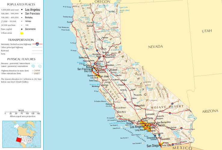
California_Map.PNG (738 × 499 billedpunkter, filstørrelse: 83 KB, MIME-type: image/png)
|
|
Denne fil er fra Wikimedia Commons. Beskrivelsen af filen fra Commons er gengivet nedenfor. |
Beskrivelse
| Beskrivelse | |
| Dato | |
| Kilde | |
| Forfatter | National Atlas of the United States |
| Tilladelse (Genbrug af denne fil) |
Public domain |
Licensering
This map was obtained from an edition of the National Atlas of the United States. Like almost all works of the U.S. federal government, works from the National Atlas are in the public domain in the United States.
Online access: NationalAtlas.gov | 1970 print edition: Library of Congress, Perry-Castañeda Library
|
Filhistorik
Klik på en dato/tid for at se filen som den så ud på det tidspunkt.
| Dato/tid | Miniaturebillede | Dimensioner | Bruger | Kommentar | |
|---|---|---|---|---|---|
| nuværende | 10. jul. 2011, 15:45 | | 738 × 499 (83 KB) | Quibik | Cropped the frame as it is not really necessary. |
| 28. jan. 2006, 14:14 |  | 764 × 587 (95 KB) | Severino666~commonswiki | Image from the National Atlas of the United States |
Filanvendelse
Der er ingen sider der bruger denne fil.
Global filanvendelse
Følgende andre wikier anvender denne fil:
- Anvendelser på ca.wikipedia.org
- Anvendelser på en.wikipedia.org
- Anvendelser på fr.wikipedia.org
- Anvendelser på he.wikivoyage.org
- Anvendelser på hr.wiktionary.org
- Anvendelser på mr.wikipedia.org