
Fil:Karte Hochkulturen.png

Størrelse af denne forhåndsvisning: 800 × 424 pixels. Andre opløsninger: 320 × 169 pixels | 640 × 339 pixels | 1.024 × 542 pixels | 1.871 × 991 pixels.
Fuld opløsning (1.871 × 991 billedpunkter, filstørrelse: 161 KB, MIME-type: image/png)
|
|
Denne fil er fra Wikimedia Commons. Beskrivelsen af filen fra Commons er gengivet nedenfor. |
Beskrivelse
| Beskrivelse |
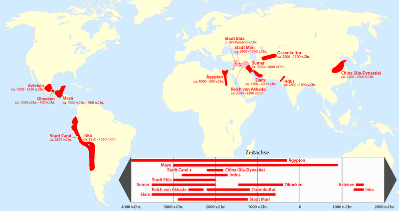
Deutsch: Karte der geschichtswissenschaftliche Hochkulturen |
| Dato | see file history |
| Kilde |
Eget arbejde, using
further sources:
|
| Forfatter | Maximilian Dörrbecker (Chumwa) |
| Tilladelse (Genbrug af denne fil) |
Jeg, dette værks ophavsretsindehaver, publicerer hermed værket under den følgende licens: Denne fil er udgivet under Creative Commons Navngivelse – Del på samme vilkår 2.5 Generisk-licensen
Sie dürfen das Bild zu den folgenden Bedingungen nutzen:
|
.svg)
Filhistorik
Klik på en dato/tid for at se filen som den så ud på det tidspunkt.
| Dato/tid | Miniaturebillede | Dimensioner | Bruger | Kommentar | |
|---|---|---|---|---|---|
| nuværende | 3. dec. 2015, 20:59 | | 1.871 × 991 (161 KB) | Kopiersperre | optipng |
| 6. nov. 2013, 00:13 |  | 1.871 × 991 (231 KB) | Chumwa | ||
| 3. nov. 2013, 21:49 |  | 1.871 × 991 (230 KB) | Chumwa | ||
| 3. nov. 2013, 21:32 |  | 1.871 × 991 (228 KB) | Chumwa | ||
| 3. nov. 2013, 10:36 |  | 1.871 × 991 (224 KB) | Chumwa | ||
| 23. okt. 2013, 21:27 |  | 1.871 × 991 (209 KB) | Chumwa | ||
| 23. okt. 2013, 07:37 |  | 1.871 × 991 (199 KB) | Chumwa | ||
| 22. okt. 2013, 23:30 |  | 1.693 × 991 (180 KB) | Chumwa | {{Information |Description= {{de|1=Karte der geschichtswissenschaftliche Hochkulturen}} |Source={{own}}, using * File:BlankMap-World7.svg for the background * this map for the Sumer area * [[File:Elam Map.jpg|this... |
.svg)
Filanvendelse
Den følgende side bruger denne fil:
Global filanvendelse
Følgende andre wikier anvender denne fil:
- Anvendelser på de.wikipedia.org
- Anvendelser på fi.wikipedia.org
- Anvendelser på rm.wikipedia.org